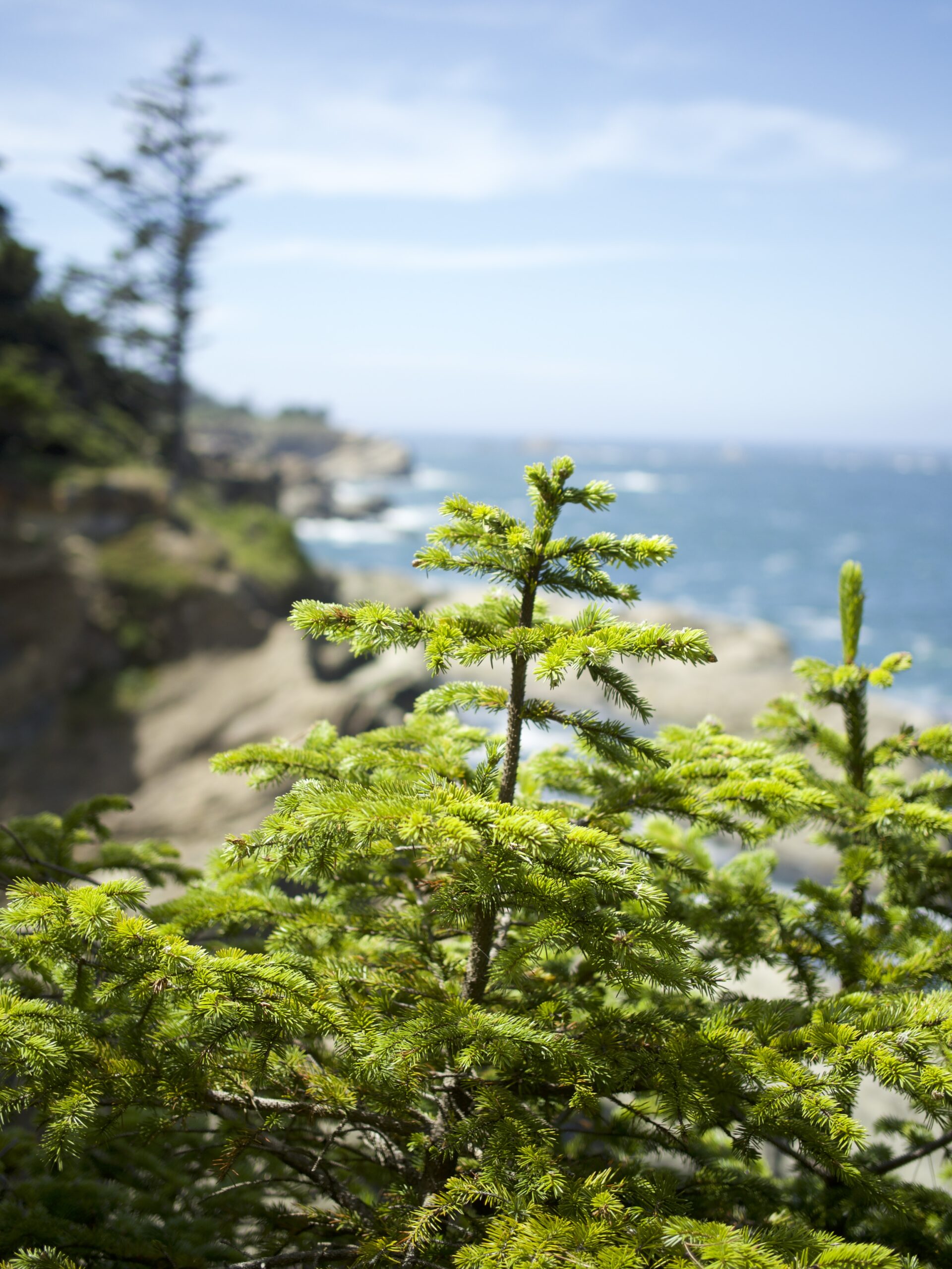
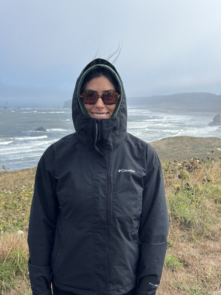
Even though Indi had only been there a time or two, and I had never been there, we decided to move to the Portland area. The winter was extremely rough, especially after living in Puerto Rico for two years. Blessedly, the sun returned in the spring and strengthened in the summer. We tried to be outside as much as possible. As part of our outdoor initiative, I planned a trip to the Oregon coast. We had a long weekend to see as much as we could. We drove about an hour west until we hit the coast, then drove south for the duration of the trip until we hit Northern CA.
Día 1
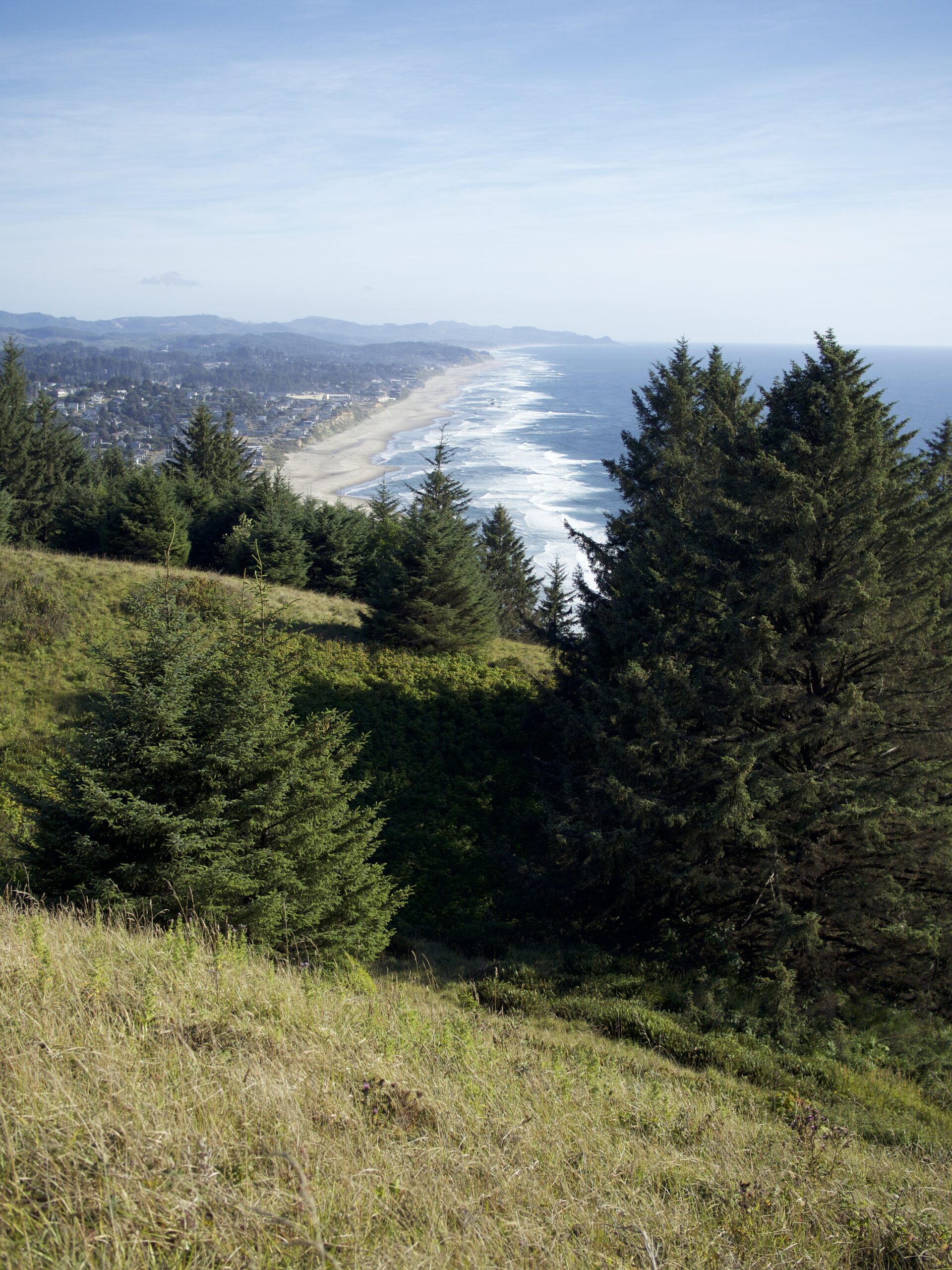
God’s Thumb
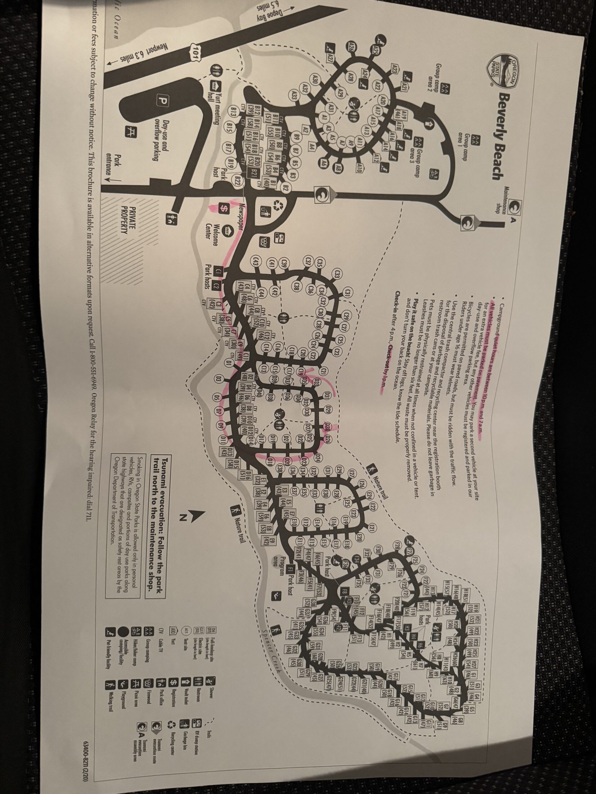
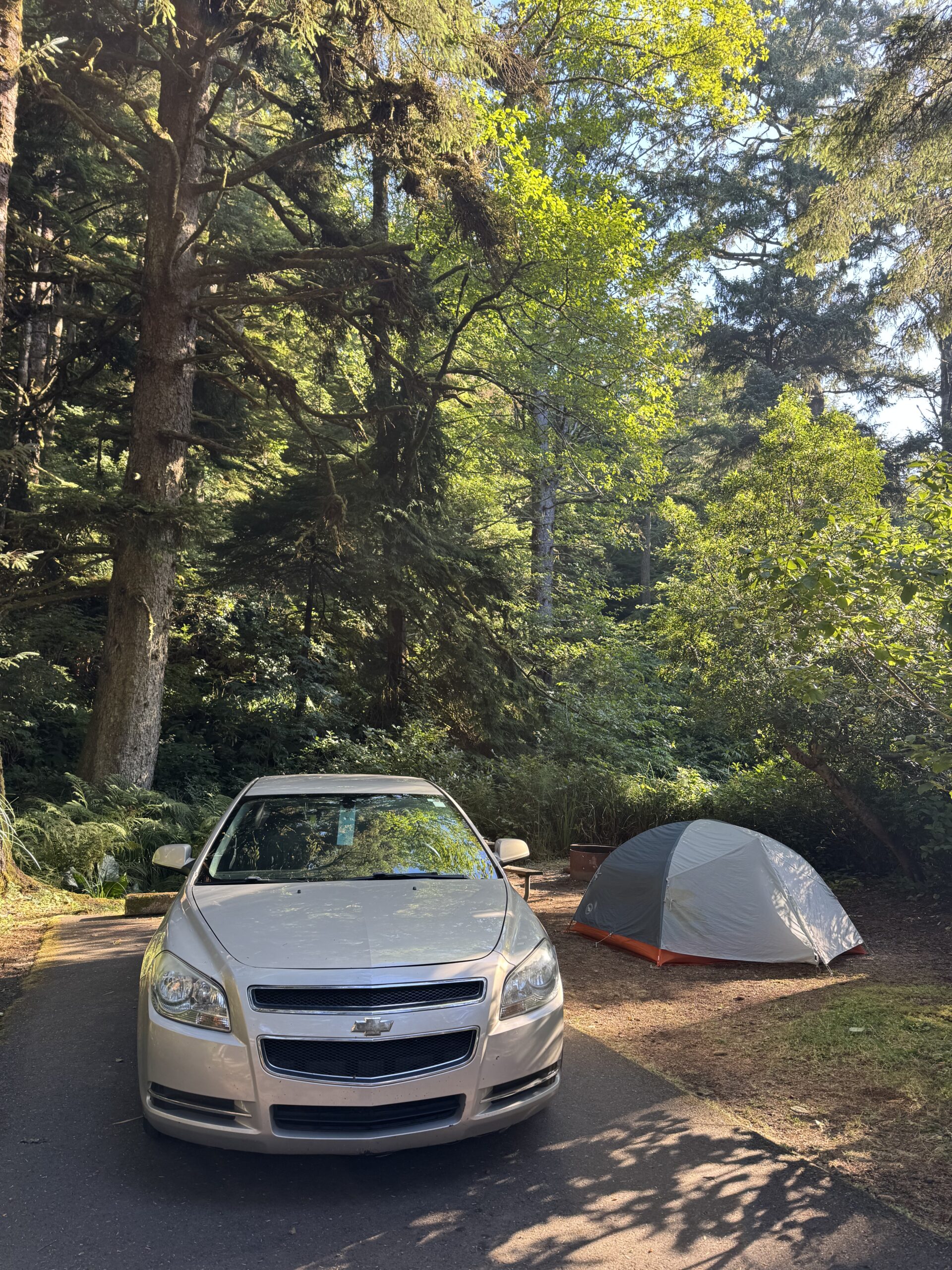
Beverly Beach State Park Campground
God's Thumb
God’s Thumb is a steep rock cliff overlooking the vast Pacific Ocean in Lincoln City, OR. You can get there via the Knoll Trail. The hike is relatively mild and is about 4 miles long. The hike was pretty. We stopped at the knoll for a nice view of the coast.
We ended our hike at the lookout point before the thumb. The hike down and then back up is pretty steep, and we heard the view is not much better. We saw a banana skug on the way down!
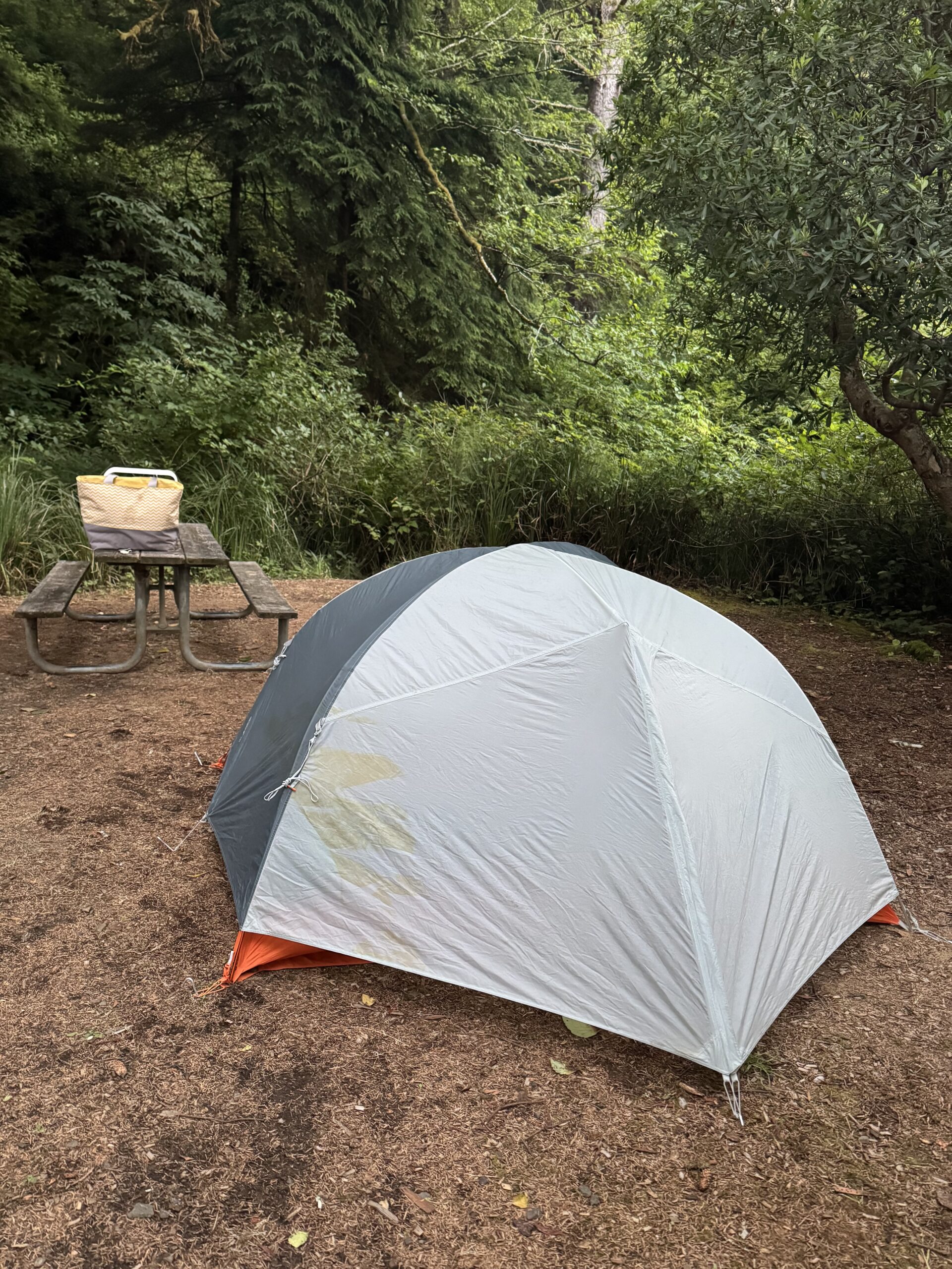
Beverly Beach State Park Campground
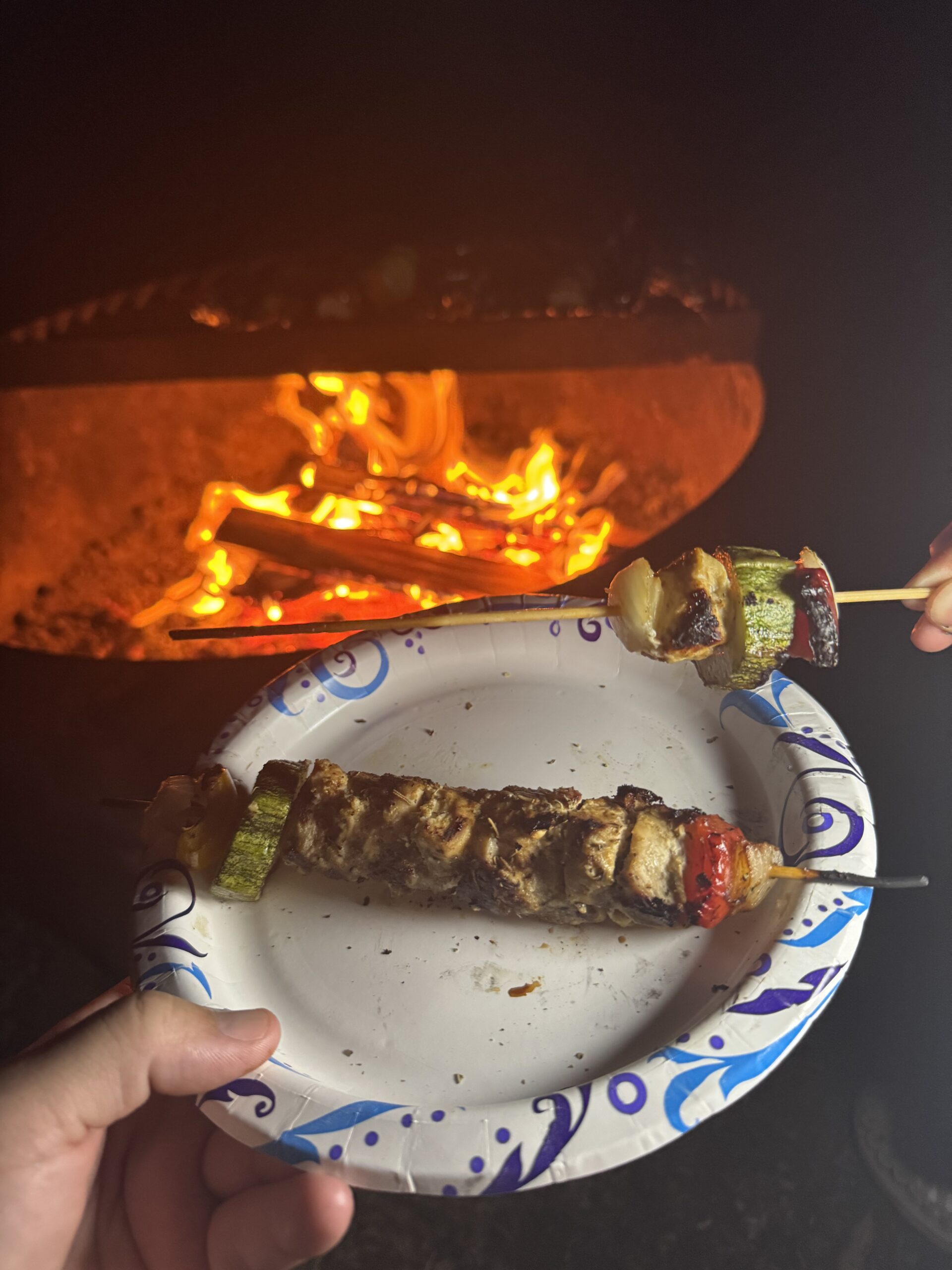
We didn’t have time for much else after our hike. So, we drove to our first campground of the trip – Beverly Beach State Park. This ended up being one of my favorite campgrounds we stayed at. The campground is well-kept, each site is surrounded by trees, and it is located within walking distance to the ocean.
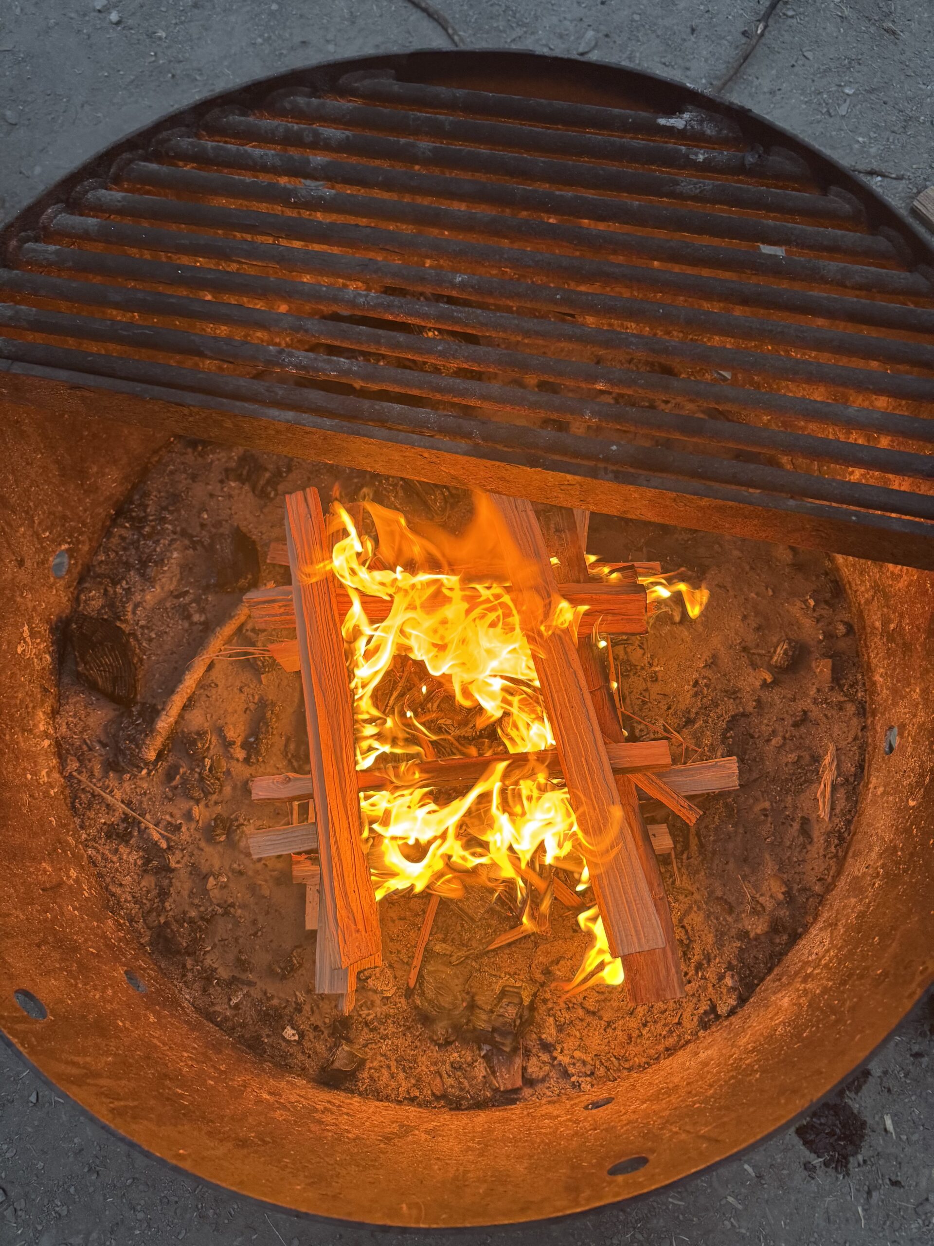
For dinner, we made a fire and ate shish kebabs.
Día 2
Beverly Beach
Yaquina Head Lighthouse
Devil’s Churn
Hobbit Beach
Heceta Head Lighthouse
Sea Lion Caves
Jessie M. Honeyman Memorial State Park
Beverly Beach
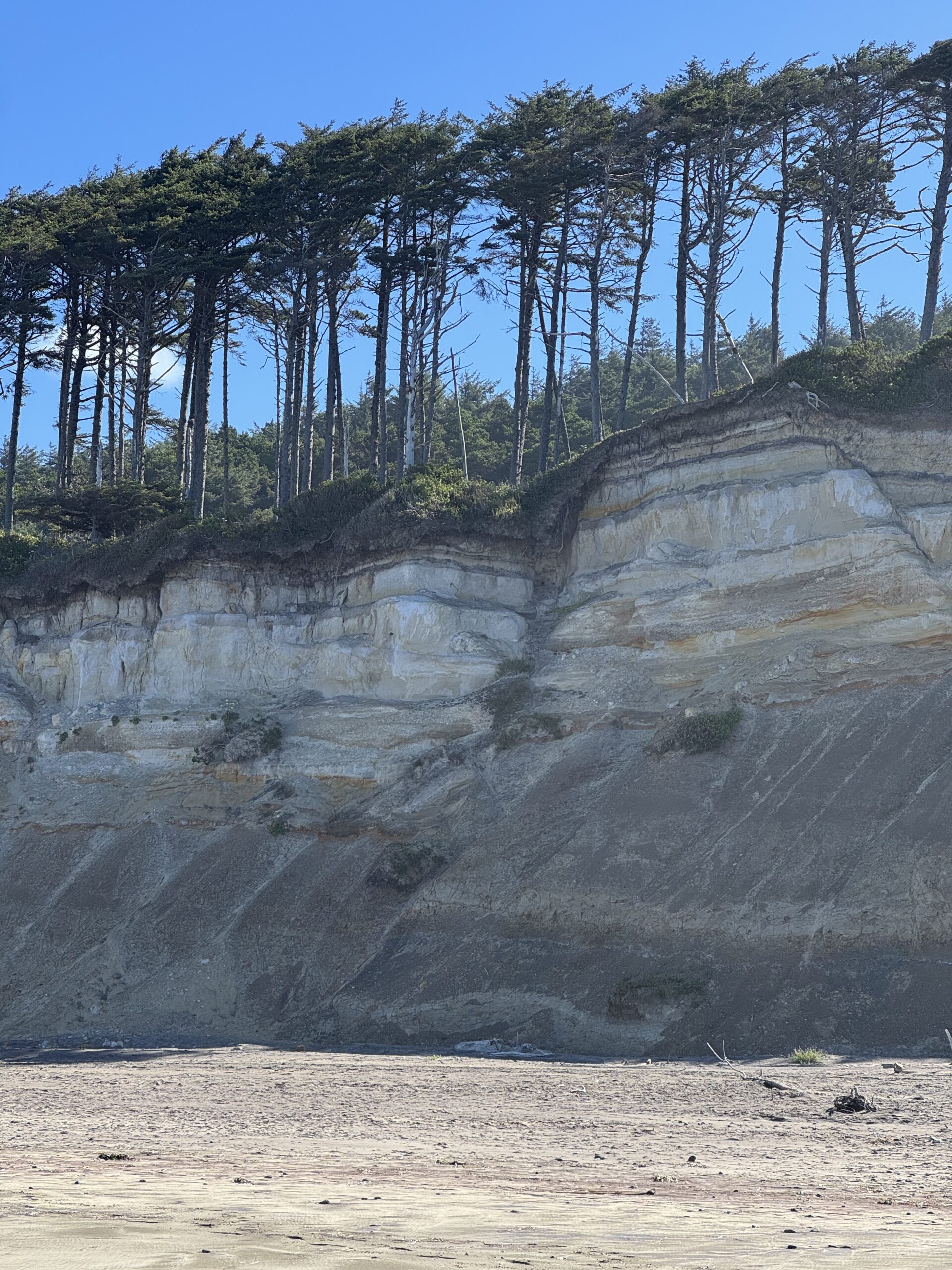
In the morning, we went for a walk on Beverly Beach.
Yaquina Head Lighthouse
Next, we took a short walk to see the Yaquina Head Lighthouse. The first of many lighthouses we saw on the road trip.
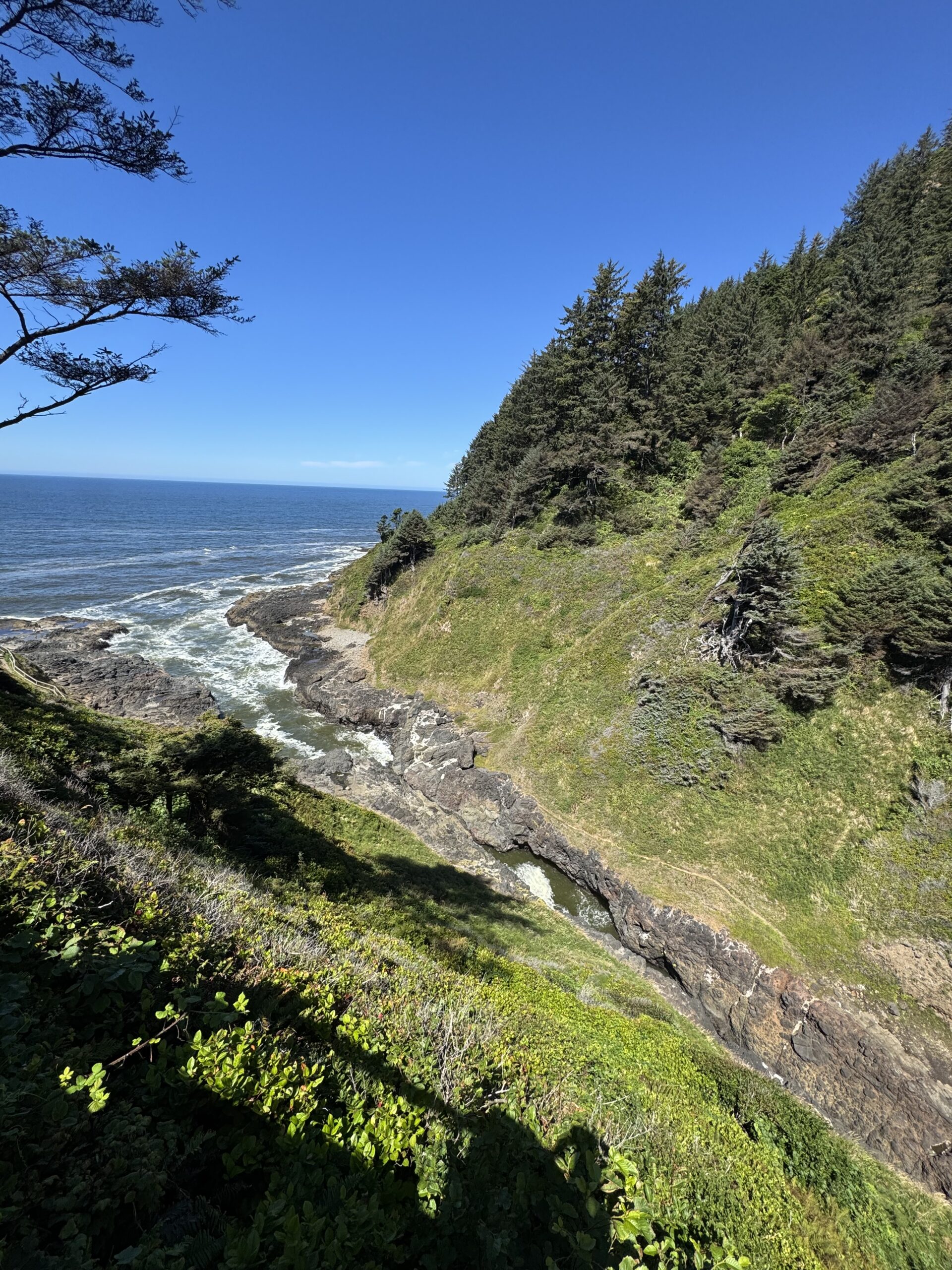
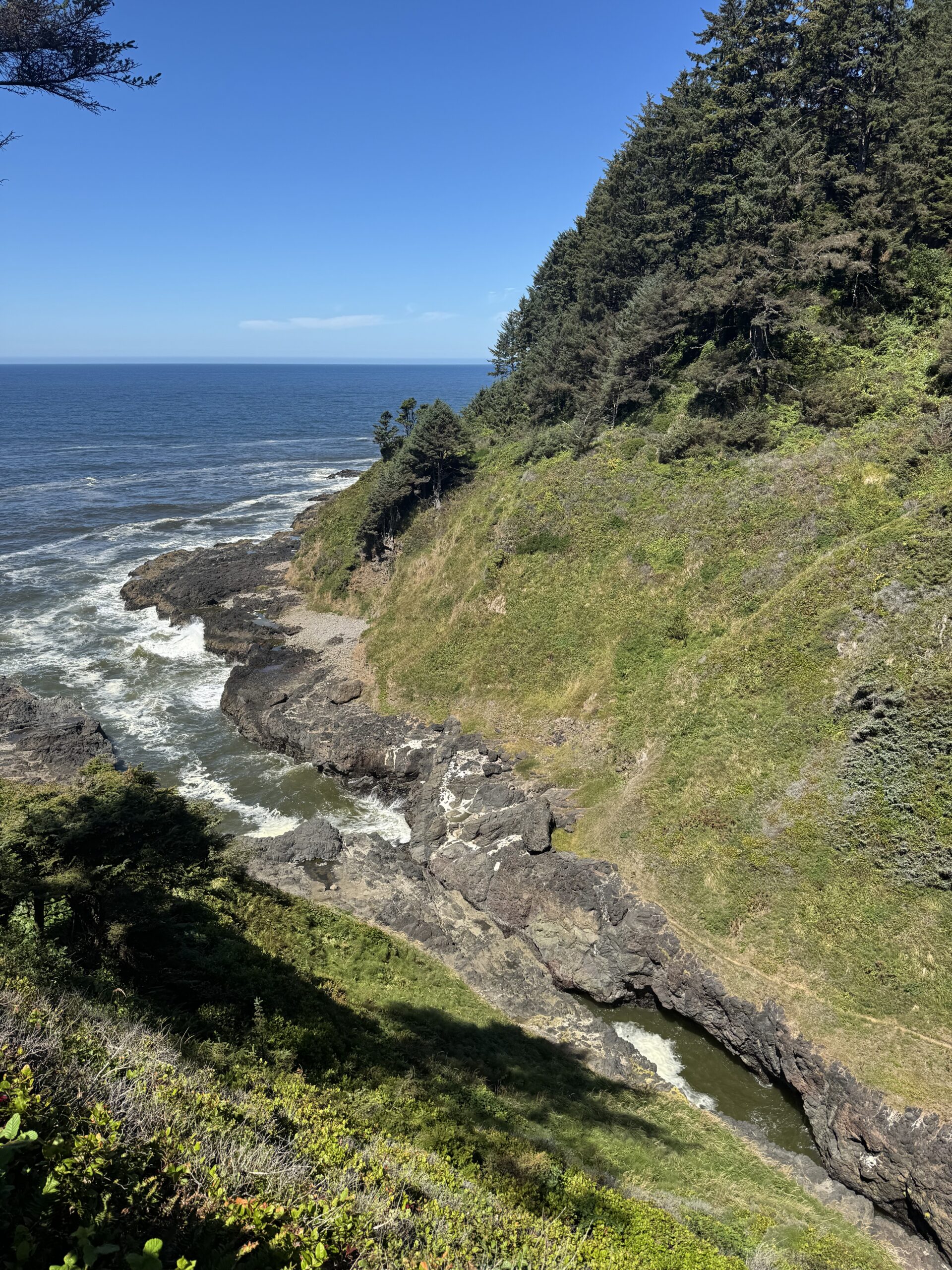
Devil's Churn
Devils Churn is a stop off the highway where a narrow inlet sometimes sprays water high into the air when waves are rough. The surf was calm when we were there, so we did not stay long.
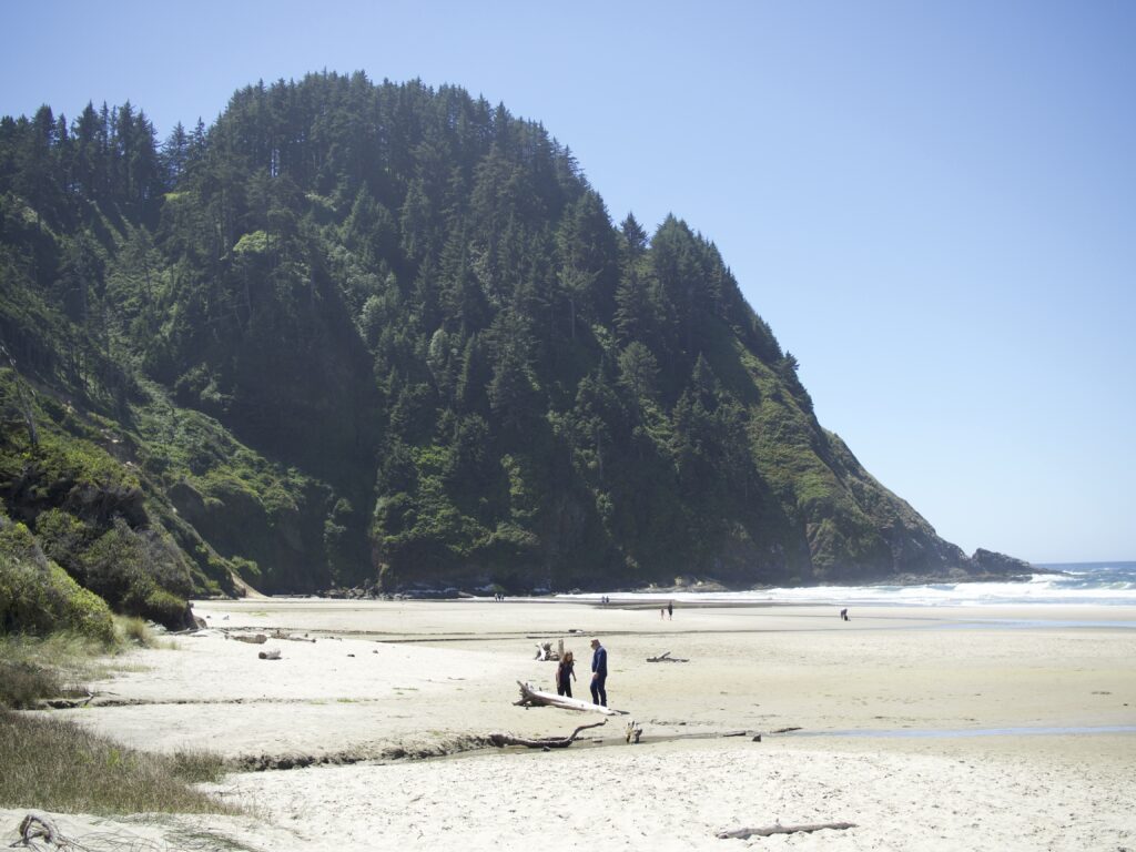
Hobbit Beach
We parked just off the road to take a short hike to Hobbit Beach. The hike to the beach was nice; you hike through a small forest section before you reach the sand. A couple of older women warned us that it was high tide, but it wasn’t.
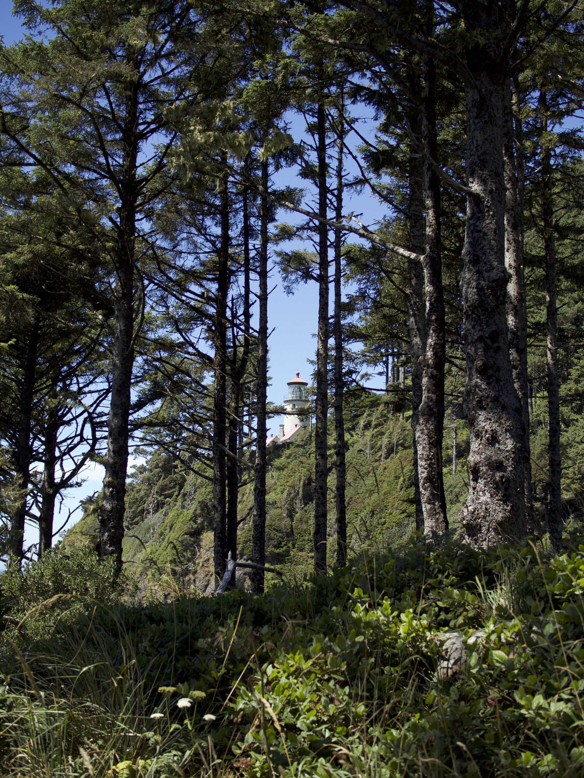
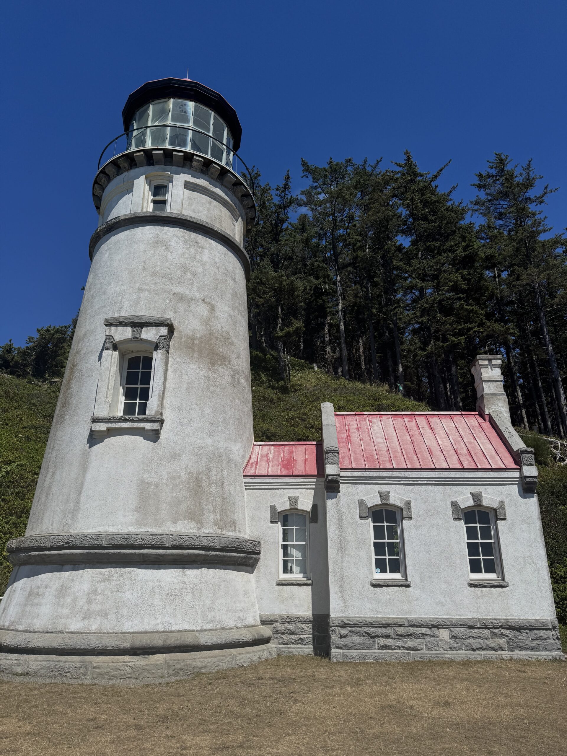
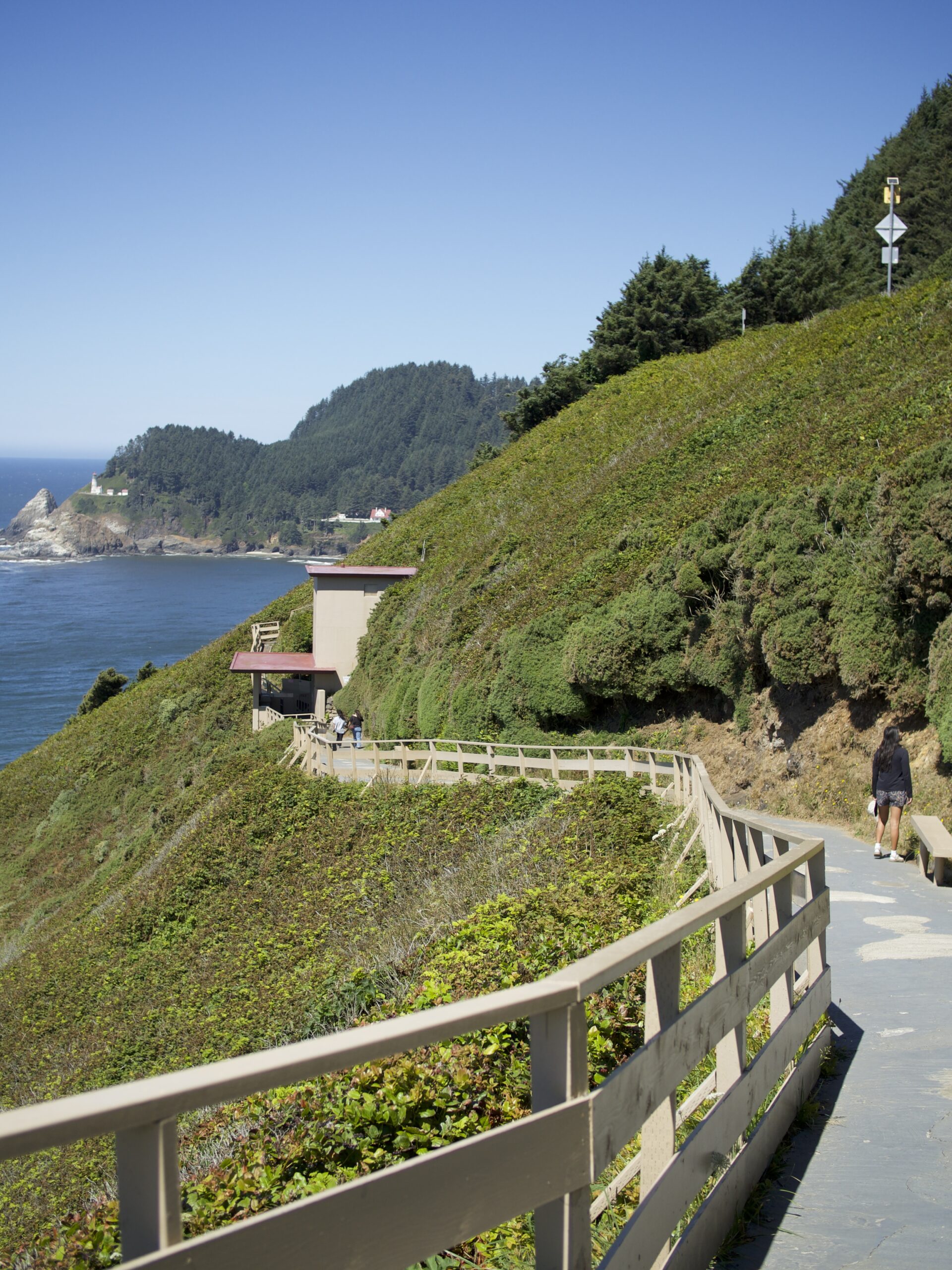
Heceta Head Lighthouse
Heceta Head Lighthouse may have been the most majestic lighthouse we saw on our trip. It is set near a cliff face outside of a forest that has been cleared around the tower and the lighthouse keeper’s house.
To get there, you drive under the Cape Creek Bridge and park in a lot at the foot of the short trail that leads to the lighthouse. This is easily one of the most beautiful areas I have seen along the 101.
We stopped at the Lighthouse Keeper’s House first. It is beautifully landscaped and the house is well-preserved.
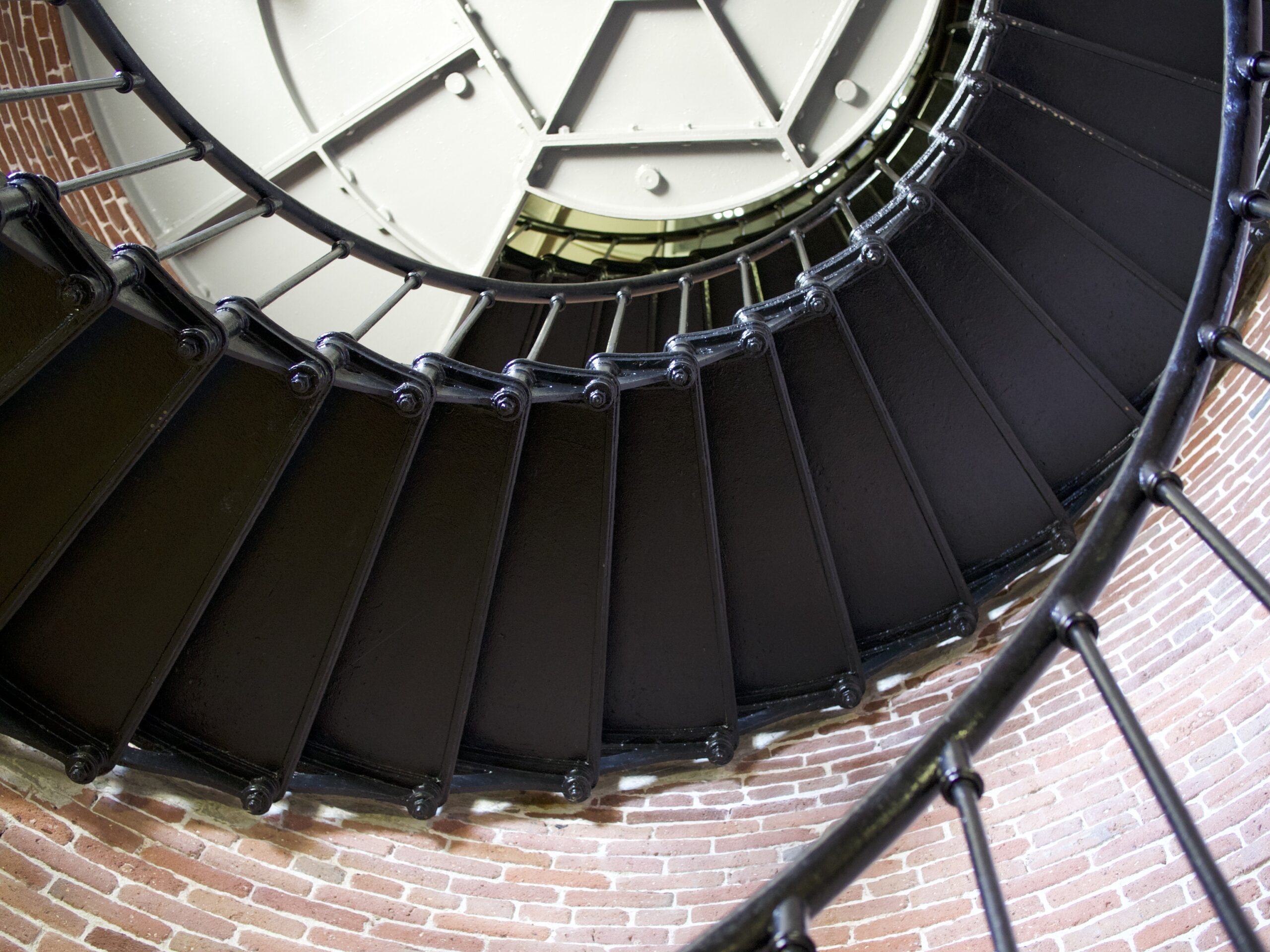
Inside the lighthouse itself, there isn’t much to see. You are not allowed to go up the stairs, sadly.
The view is enough.
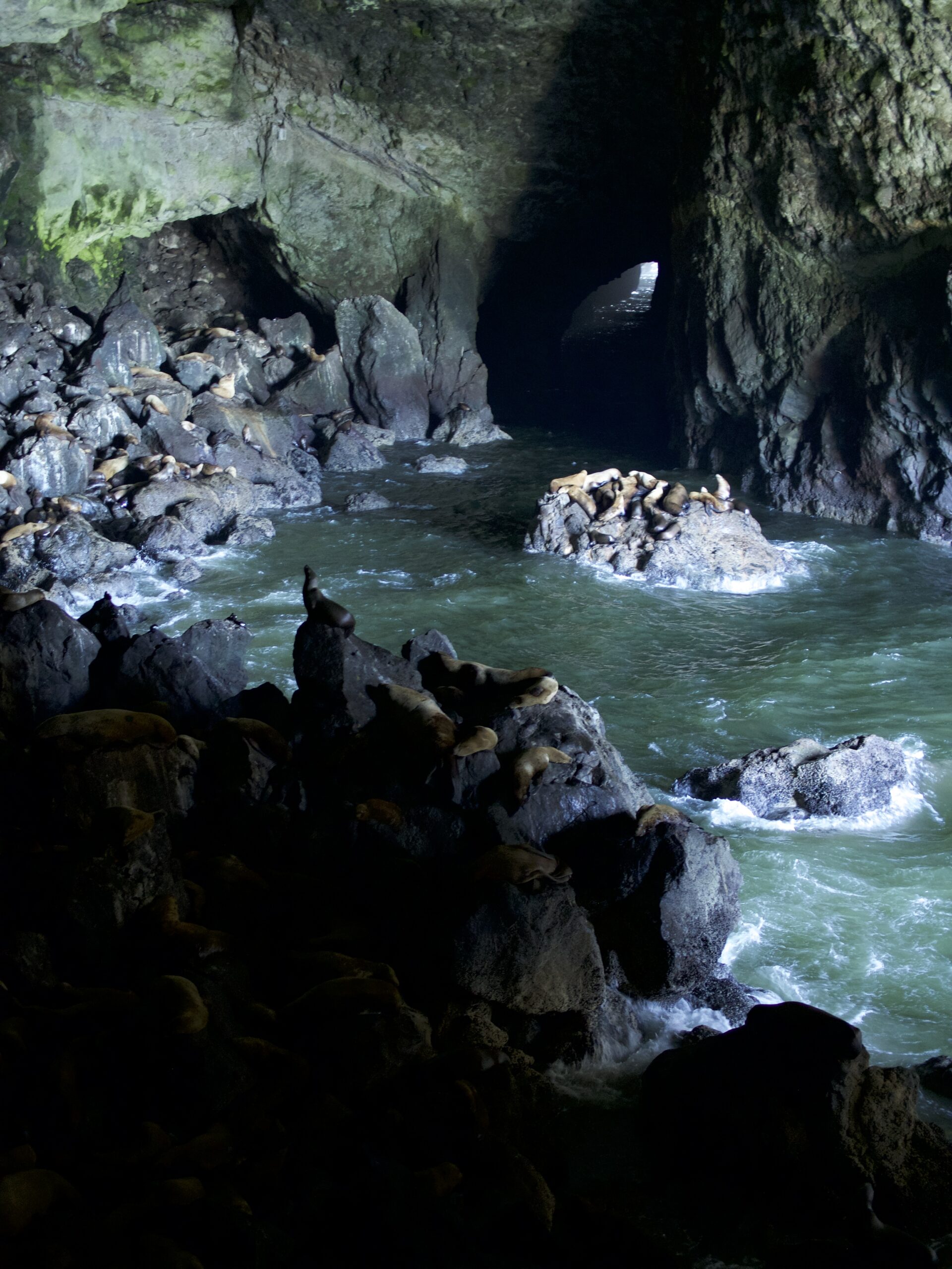
Sea Lion Caves
Just a short drive down Highway 101 brought us to the Sea Lion Caves – the largest sea cave in the USA. You pay to enter at the building next to the parking lot, you walk down a sloping pathway to an elevator, which takes you down into the cave. From the viewing platform, you can see into the main cave, which is full of Steller Sea Lions. The smell isn’t great but I think it’s worth seeing once.
Jessie M. Honeyman Memorial State Park
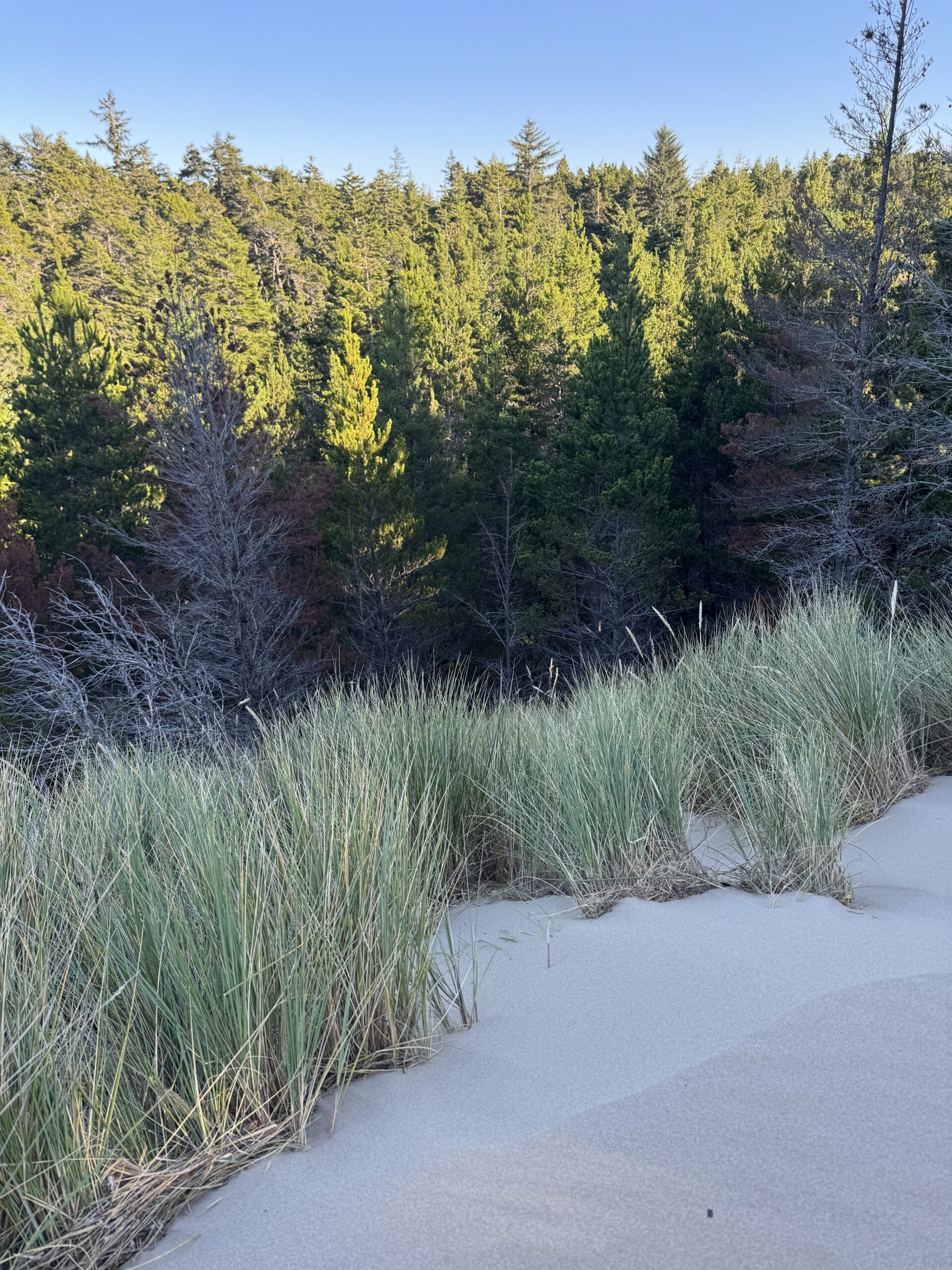
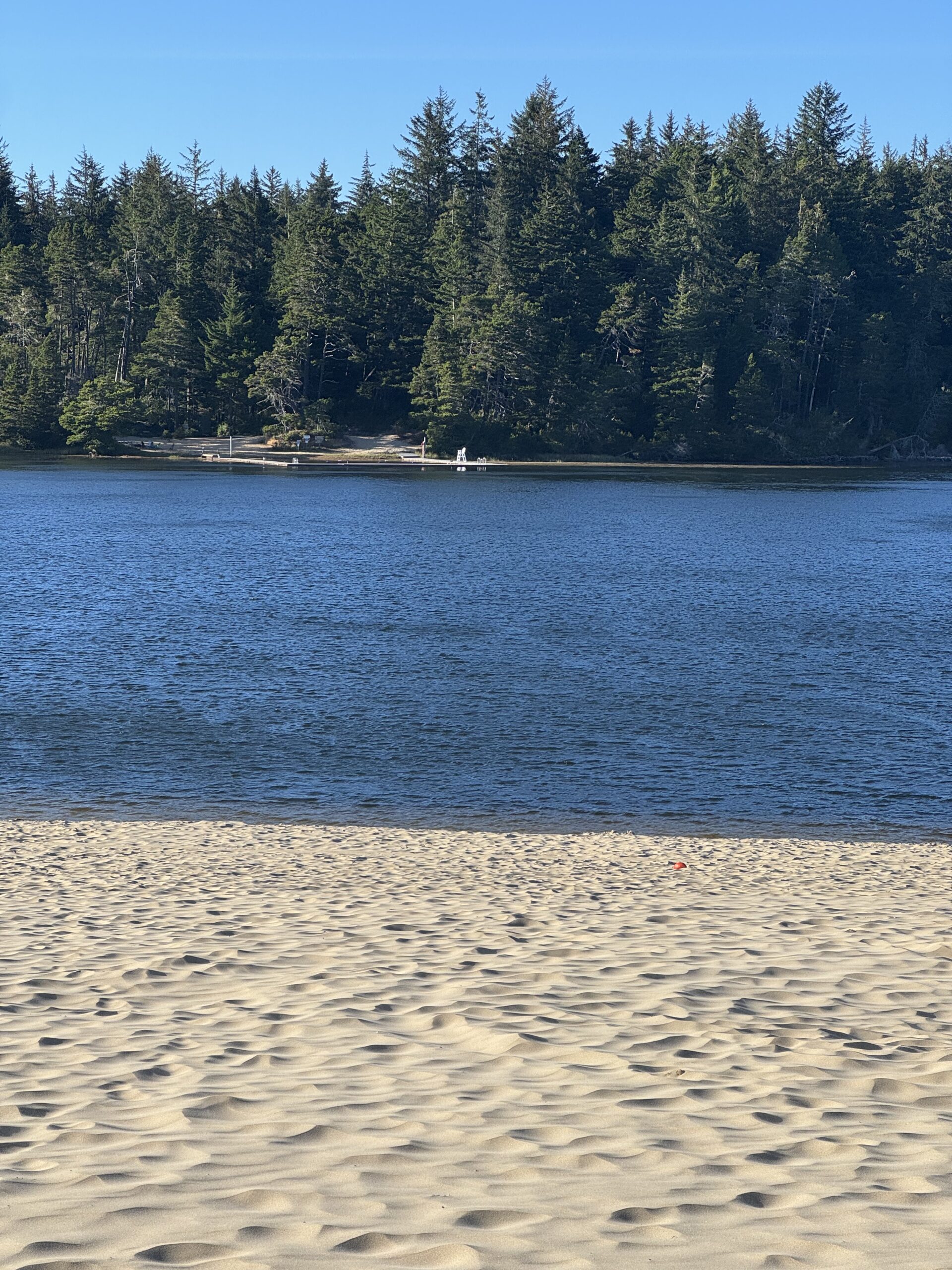
Jessie M. Honeyman Memorial State Park had the most interesting landscape of all the state parks we saw on our trip, and we saw many. The park is made up of a lake, sand dunes, forest, and the coastline. The area where the dunes and the forest meet was so strange and cool. We walked up a sand dune and then raced down it (Indi didn’t go very fast).
Honeyman State Park is also where we camped for our 2nd night of the trip. This was another winning camping spot.
Día 3
Shore Acres State Park
Cape Arago State Park
Bandon
Face Rock Beach
Bullards Beach State Park
In the morning, we woke up to blue skies, which would later give way to more misty conditions.
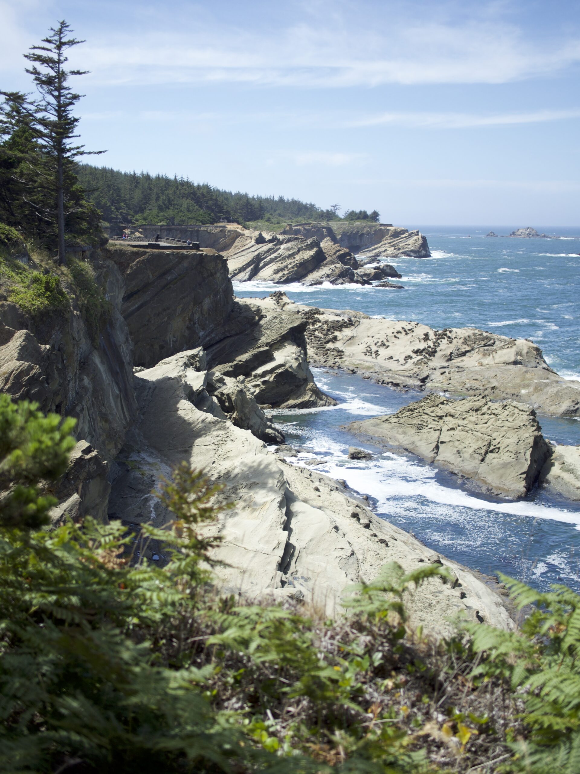
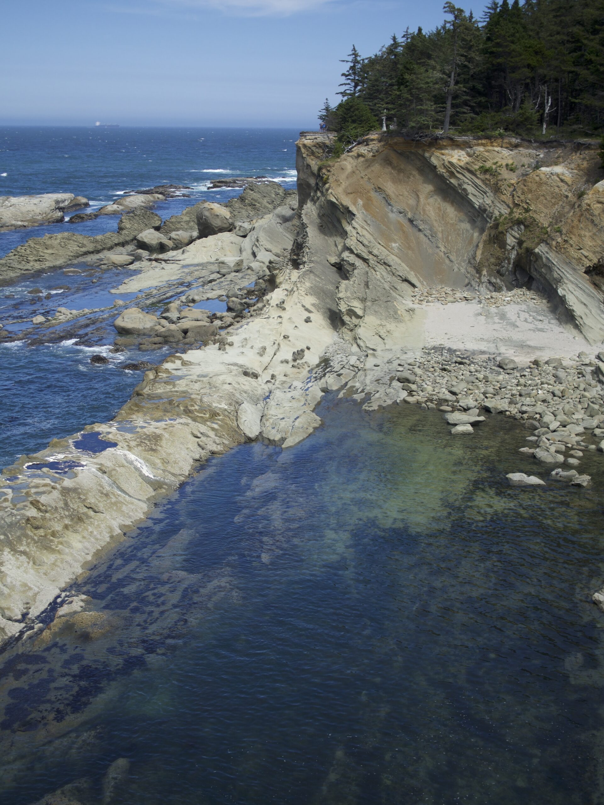
Shore Acres State Park
Shore Acres State Park was our first stop of the day. The main attraction is the rocky coastline. The shallow water near the shore was surprisingly clear. We could see colorful starfish attached to the rocks just below the surface. We both enjoyed a short walk along the edge of the rock face, looking over the Pacific.
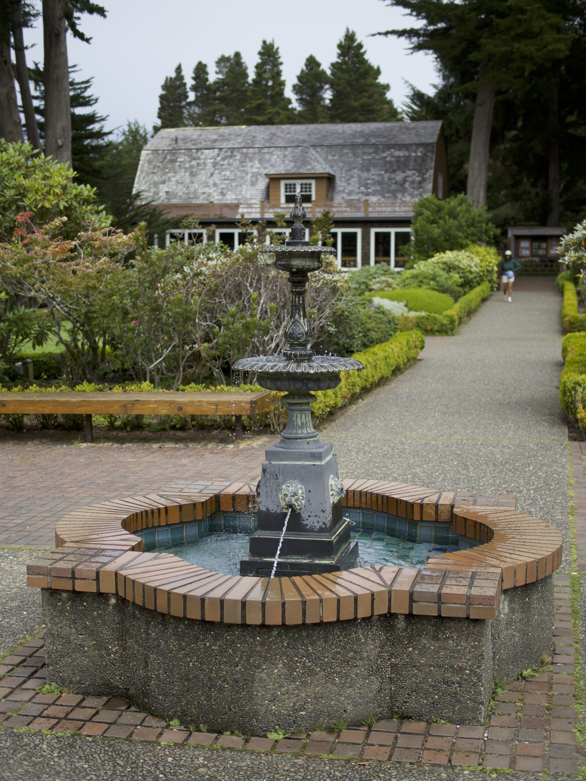
Besides cool coastal views, Shore Acres also boasts impressive botanical gardens. The land was once a private estate, but after financial problems, it was sold to the state, and the buildings and garden have been maintained. I did not take nearly enough photos, sorry.
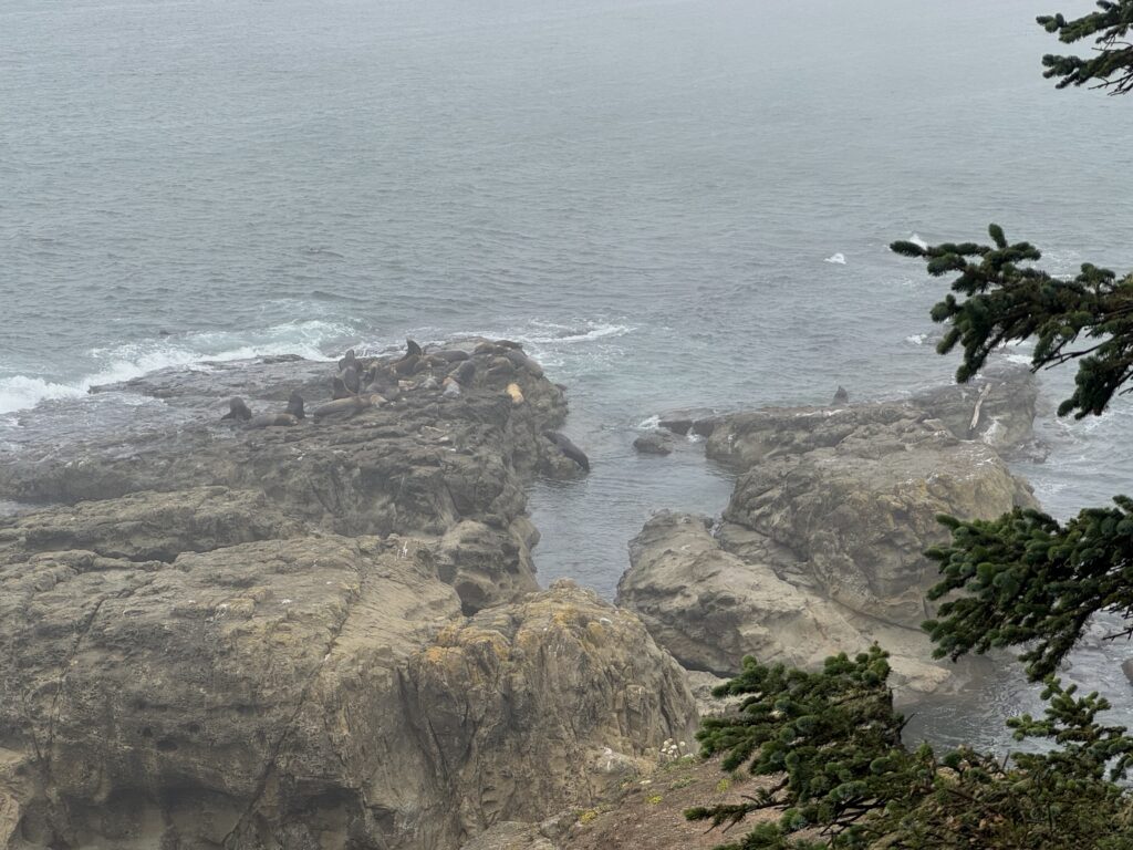
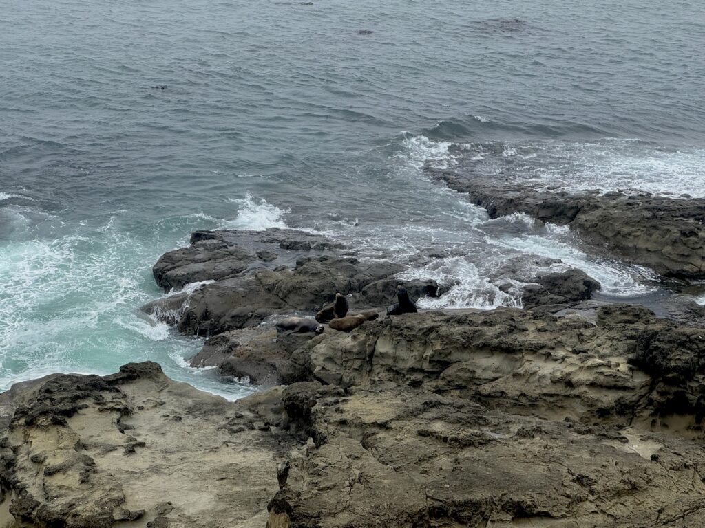
Cape Arago State Park
Next, we drove to Cape Arago State Park. The main thing to do here is a short hike to a bluff above a rocky shoreline where sea lions like to hang out. It was incredibly windy at the viewing spot, so we didn’t stick around long.
Bandon
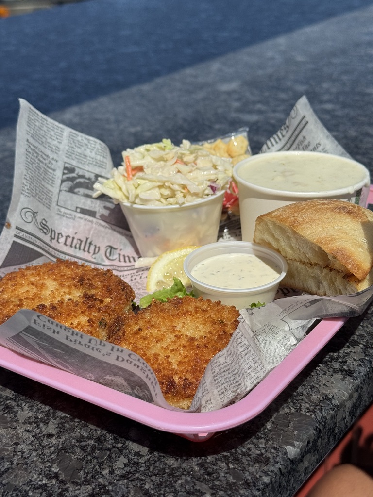
Next, we went to the coastal town of Bandon for lunch at a crab shack. Neither of us is a big fan of crab, but I had the notion that this place would change our minds. It didn’t. The town of Bandon was nice, though. We spent some time wandering through shops.
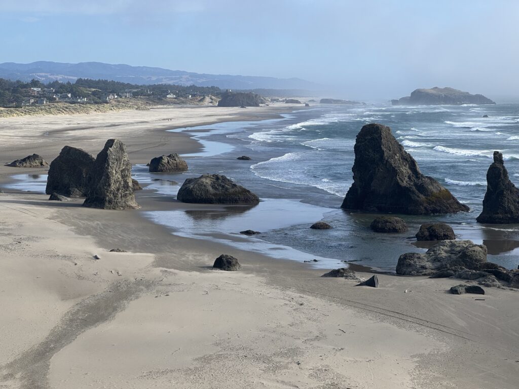
Face Rock Beach
The view from Face Rock State Scenic Viewpoint was striking. I had a lot of time to look at it because Indi fell asleep in the car for around 45 minutes. When she woke up, we walked down the stairs to the sand and along the beach until we got to the giant rocks sticking out of the sand. It was windy, and more serious clouds promising rain were rolling in, so we fast walked back to the car.
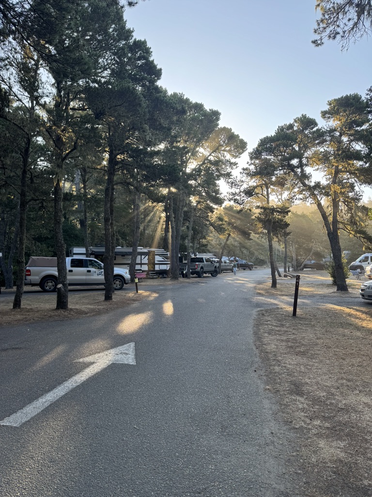
Bullards Beach State Park
We did a little back tracking to return to our campground at Bullards Beach State Park. We cooked dinner, made a fire, and enjoyed the evening at our campsite. This was my least favorite campsite as the spots were pretty open on a mostly grass lot. Also, the site next to us had an older couple who were fighting loudly and constantly.
Día 3
Cape Blanco State Park
Arch Rock State Park
Meyers Creek Beach Viewpoint
Thomas Creek Bridge
South Fork Smith River
Stout Grove
Jedediah Smith Redwoods State Park
Although the campground wasn’t much to look at, the sun’s morning rays coming through the scant canopy was beautiful.
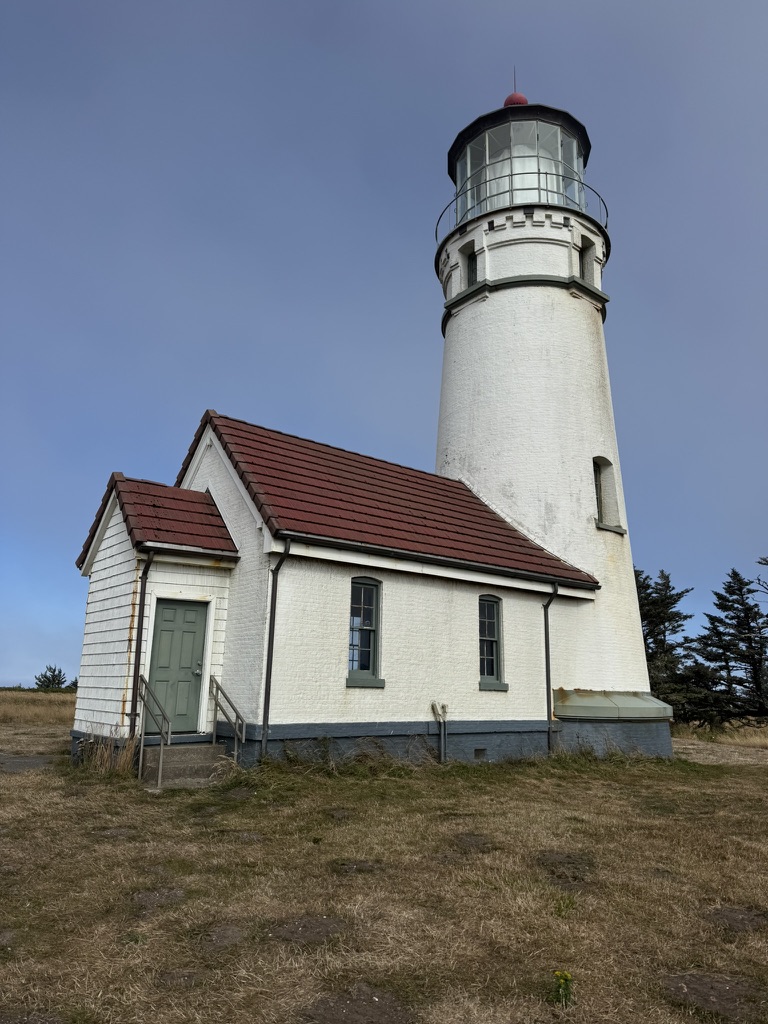
Cape Blanco State Park
Our first stop of the day was at another lighthouse, this time in Cape Blanco State Park. This lighthouse had the most remote and austere surroundings we had seen so far. The structures felt far from civilization, alone on a violently windy bluff. We layered up for the chilly walk to the lighthouse.
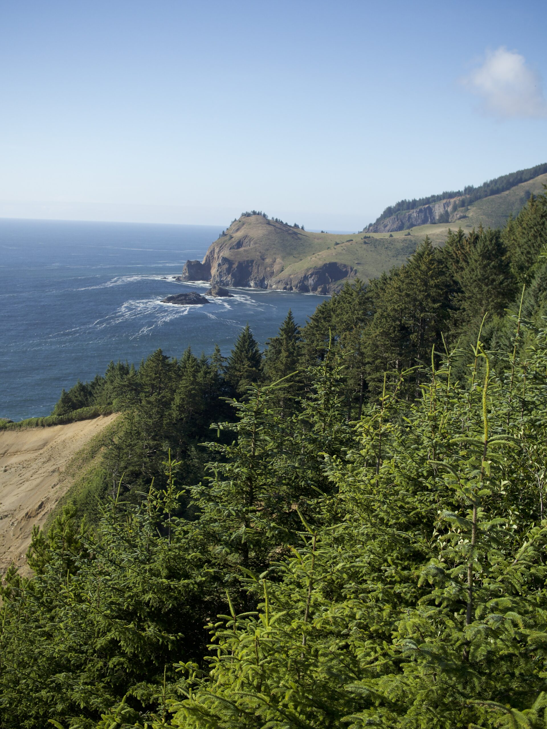
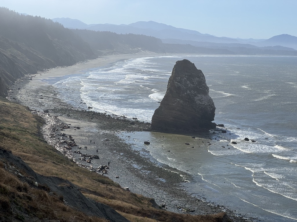
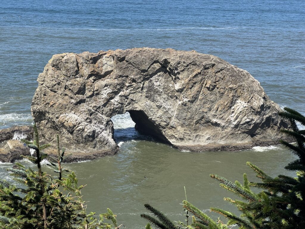
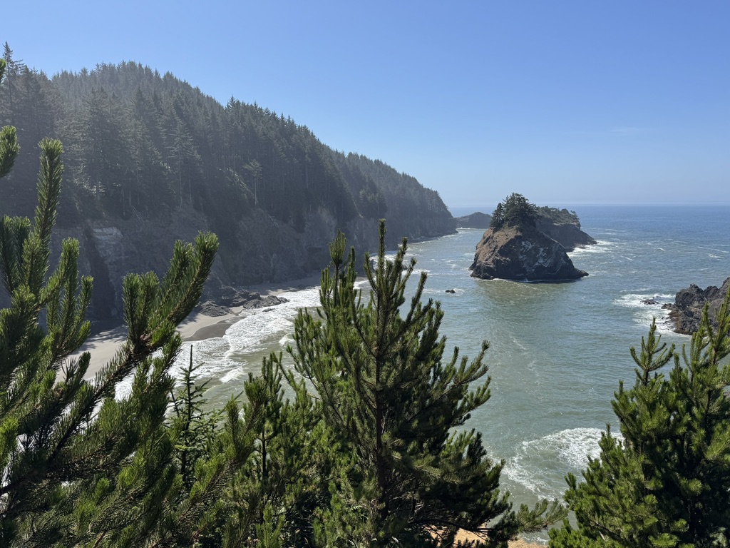
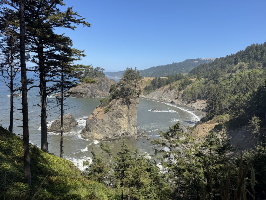
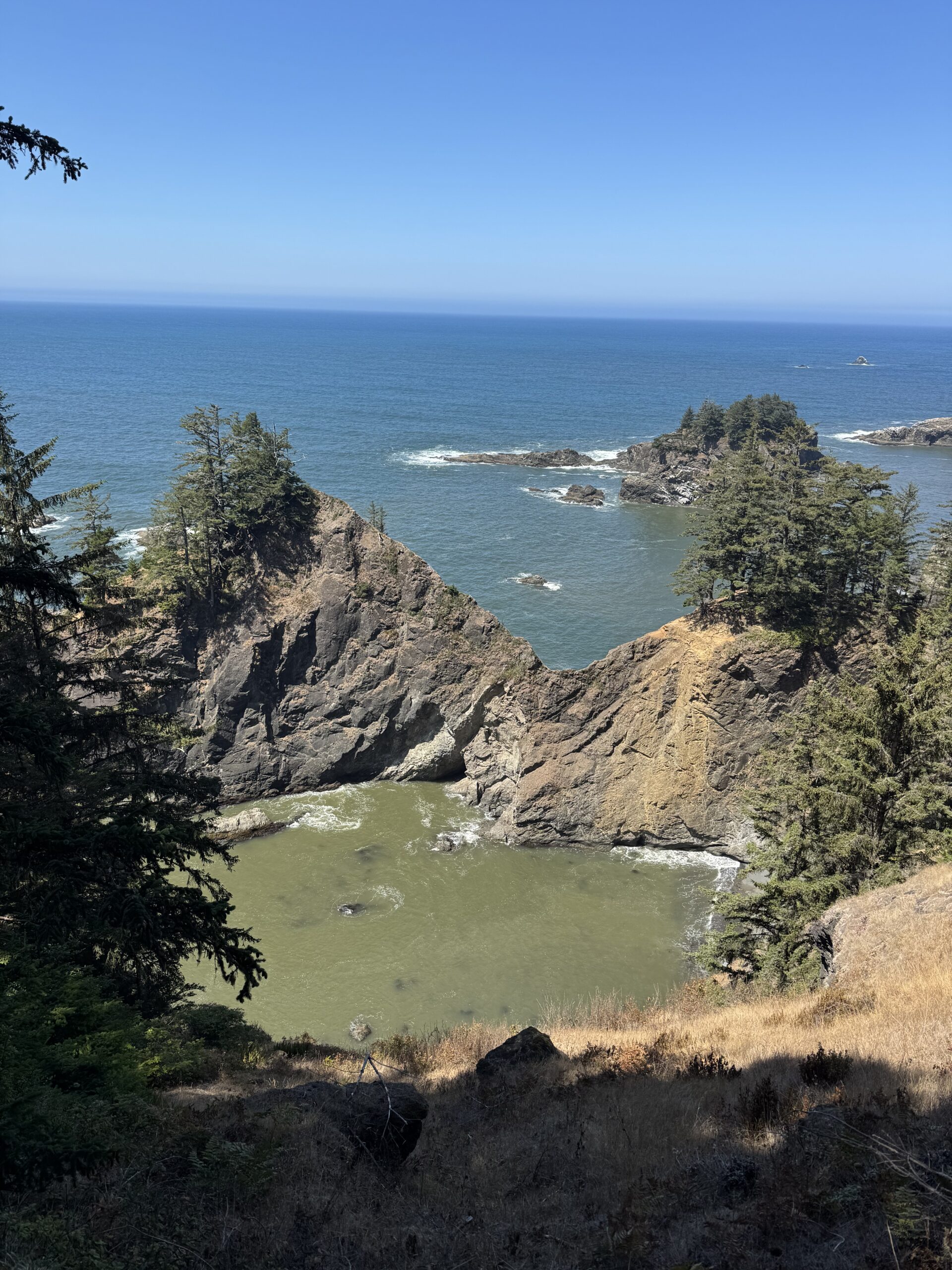
Arch Rock State Park
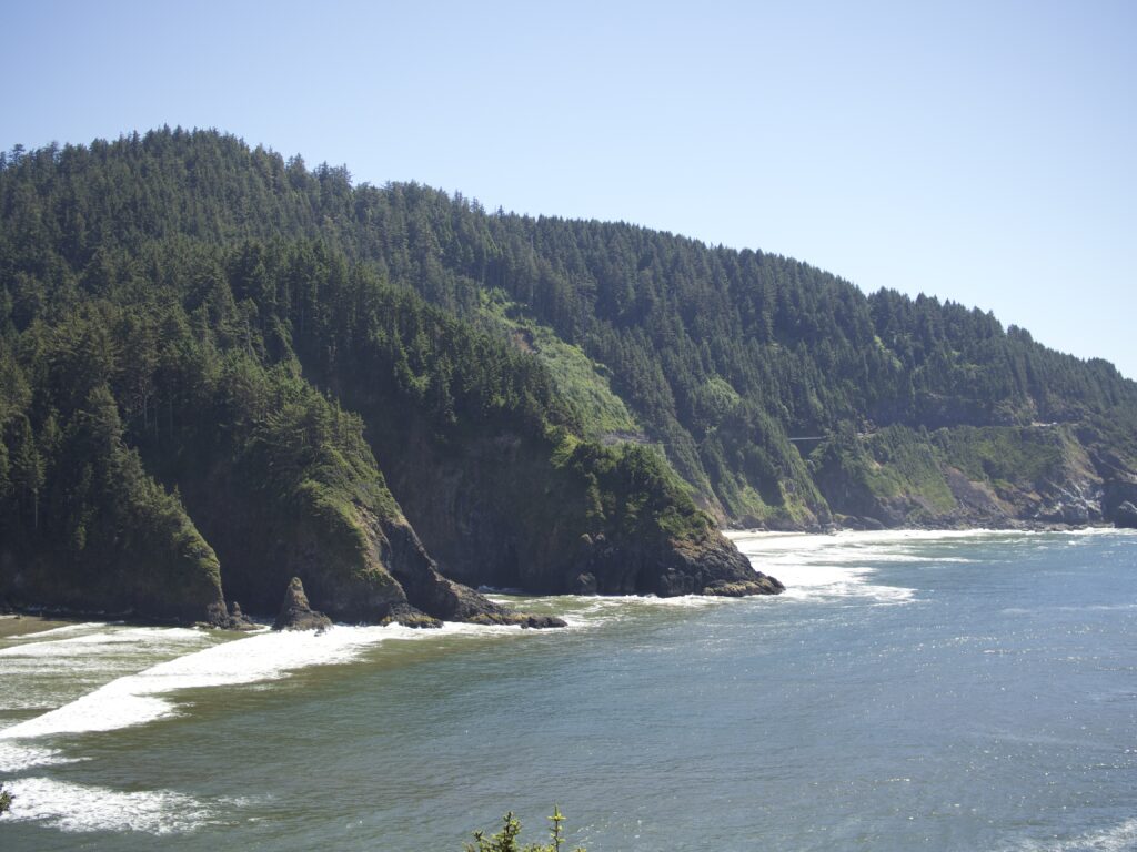
I think Arch Rock State Park gave us some of the best views of our trip. The area is quite small, but the vistas are striking.
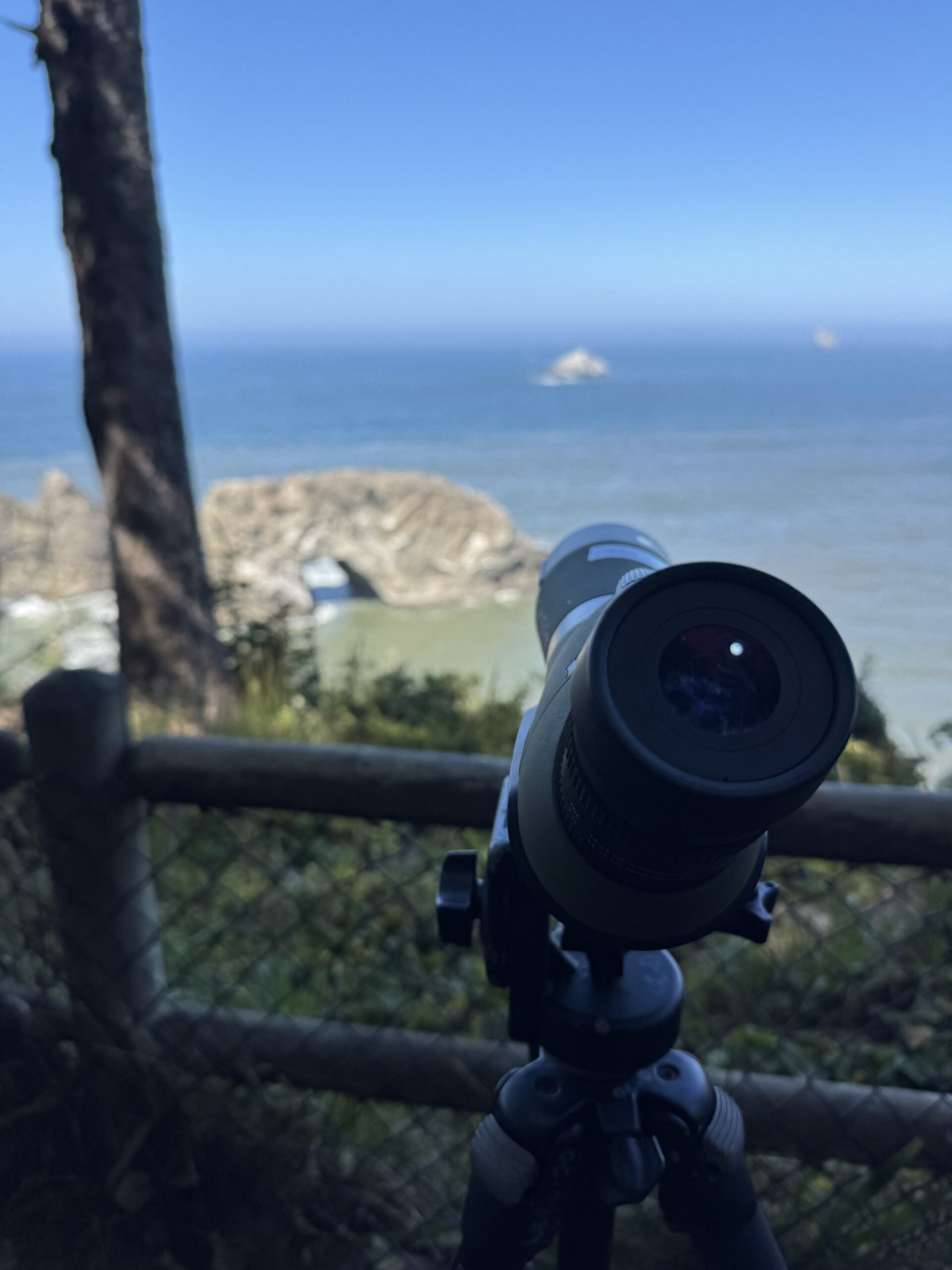
One thing I have neglected to mention is that in popular spots along the coast, there were bird watchers in association with a state program that set up spotting scopes to see the seabirds by the seashore (aliterations come naturally to me). It was interesting to look through the scopes to see different species of seabird.
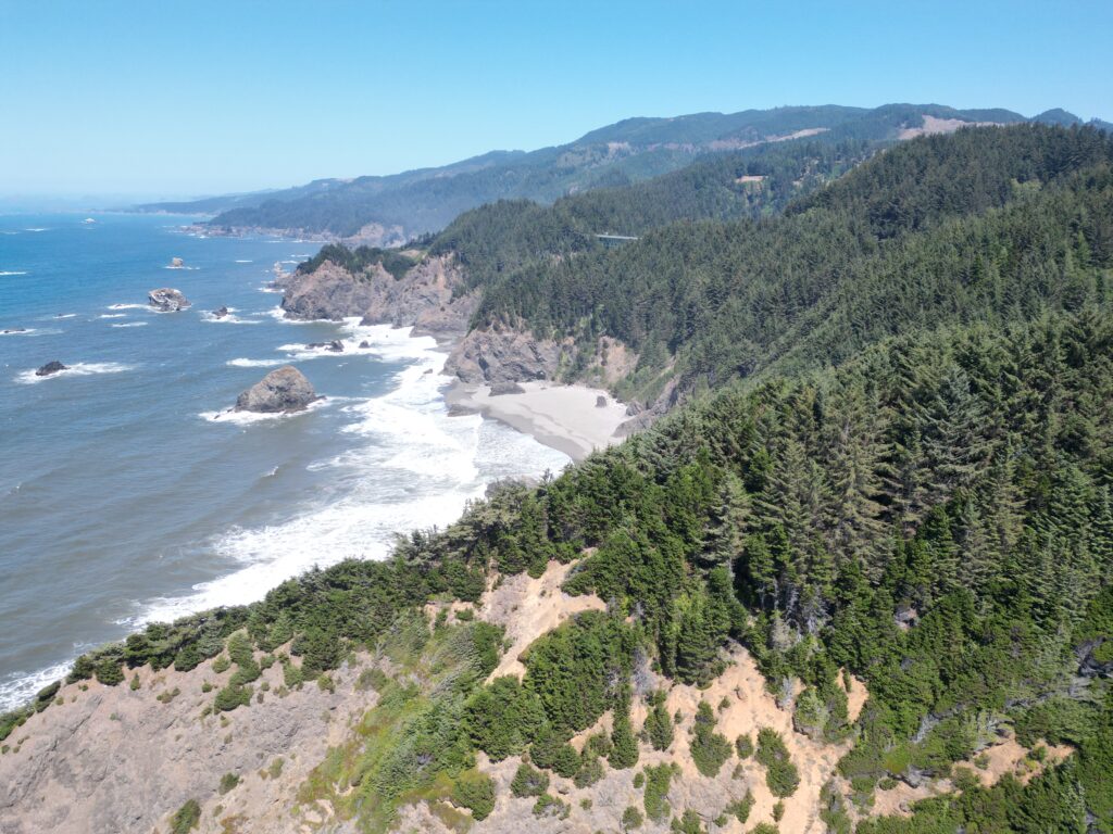
Meyers Creek Beach Viewpoint
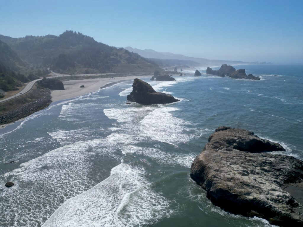
We continued our drive south and pulled out at a scenic viewpoint off the 101 – Meyers Creek Beach Viewpoint. This was one of the few times I was able to launch my drone.
Thomas Creek Bridge
The tallest bridge on Highway 101 in Oregon is the Thomas Creek Bridge, built in 1961. It sits 345 feet above Thomas Creek in the Samuel H. Boardman Scenic Corridor near Brookings.
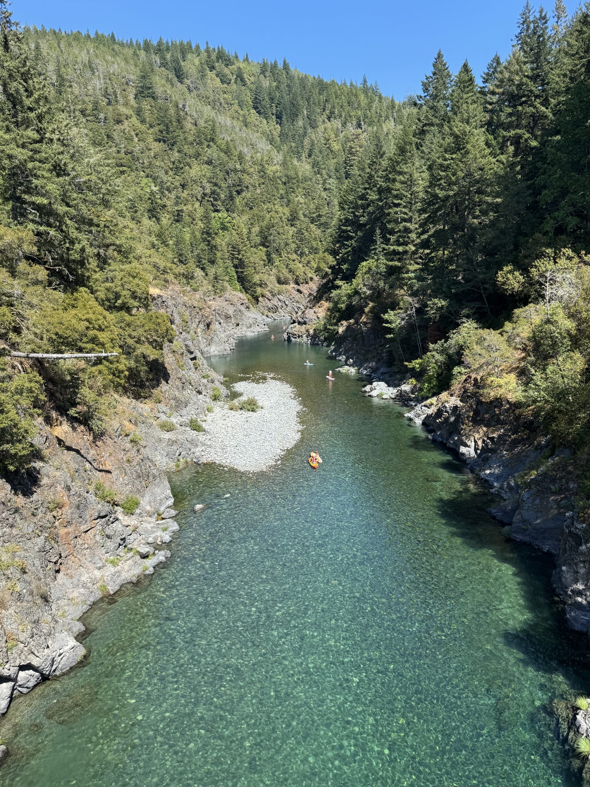
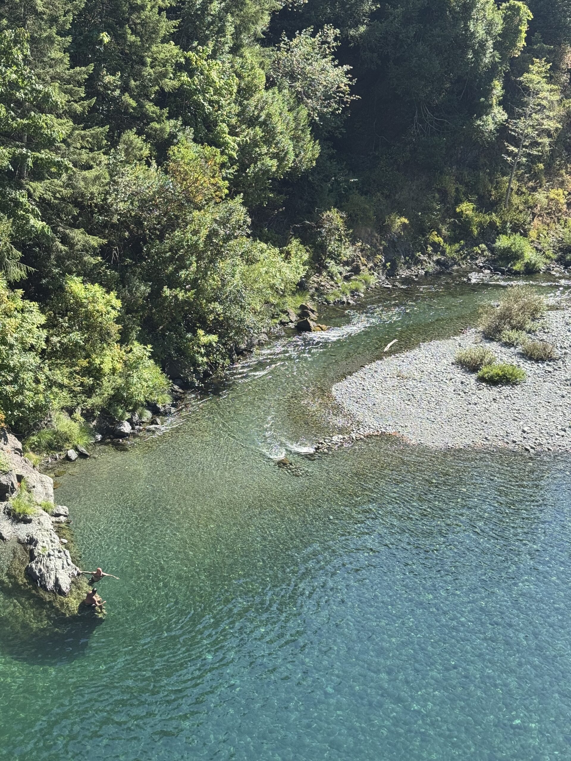
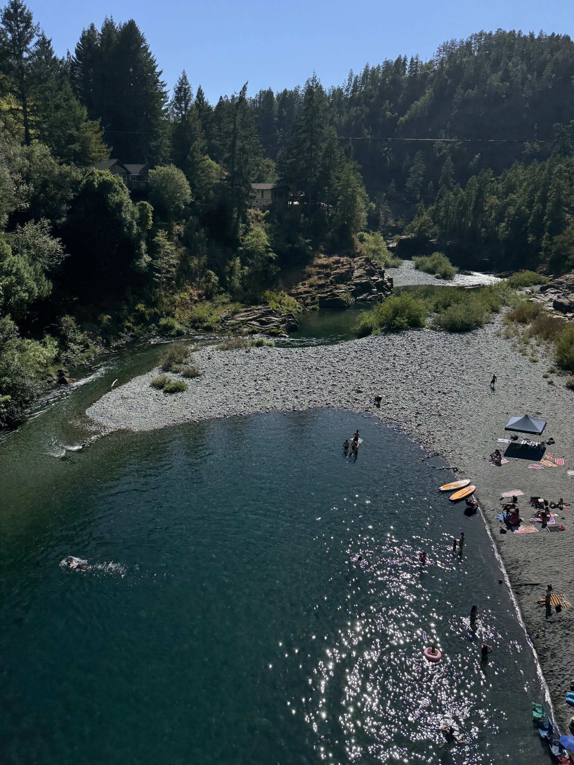
South Fork Smith River
We were close to the California coast and ahead of schedule, so we decided to cross the state line in search of redwood trees. On the way to a redwood grove, I drove over a bridge in Crescent City and saw a small crowd of people spending the sunny afternoon at the river. I pulled over, parked, woke Indi up (she gets to sleep while I drive), and we hiked down to the river.
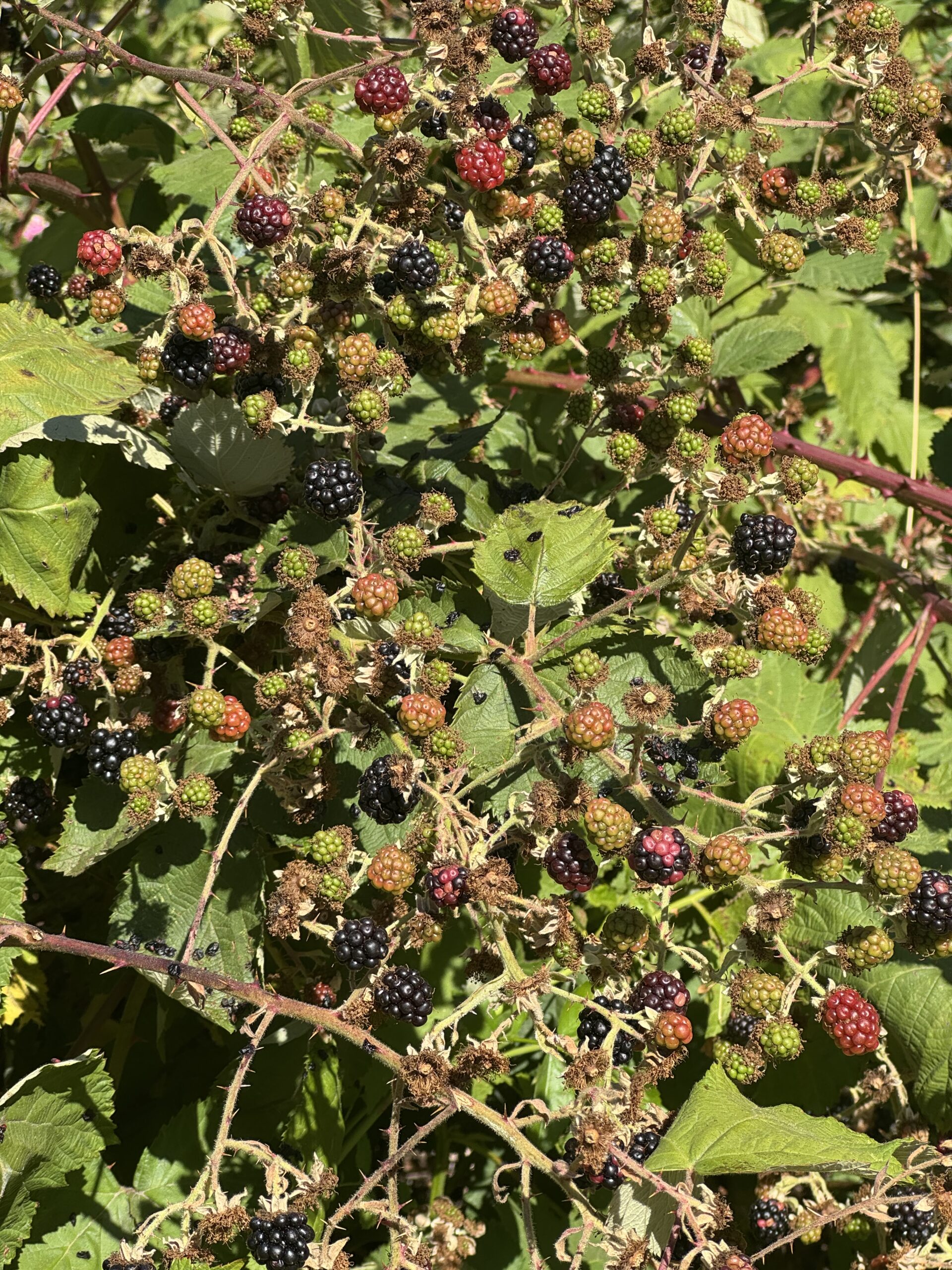
The water was cold and crystal clear. Luckily it was a hot day, so we both got in. Under the bridge, a natural pool made for a great swimming spot, and someone had tied a rope swing to the bridge, which I would have used, but there was always a line for it. A smaller section of the river led from the pool downstream, picking up speed as it ran over the river rocks a foot or two below the surface. We rode the chute around the bend, where it got deeper and wider. Afterward, we set up our chairs by the water, and on the way back, we ate our fill of roadside blackberries sweetened by the direct summer sun.
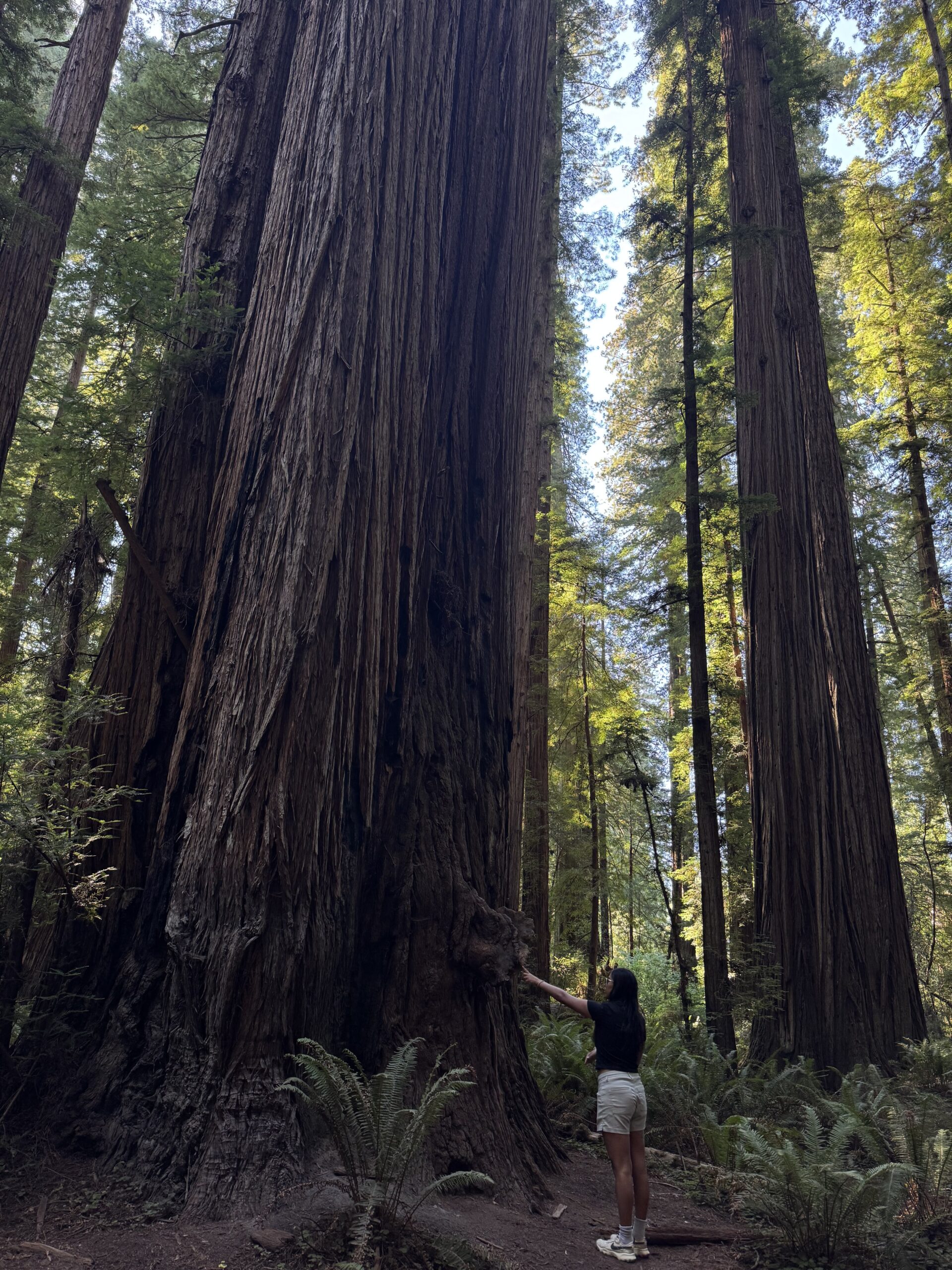
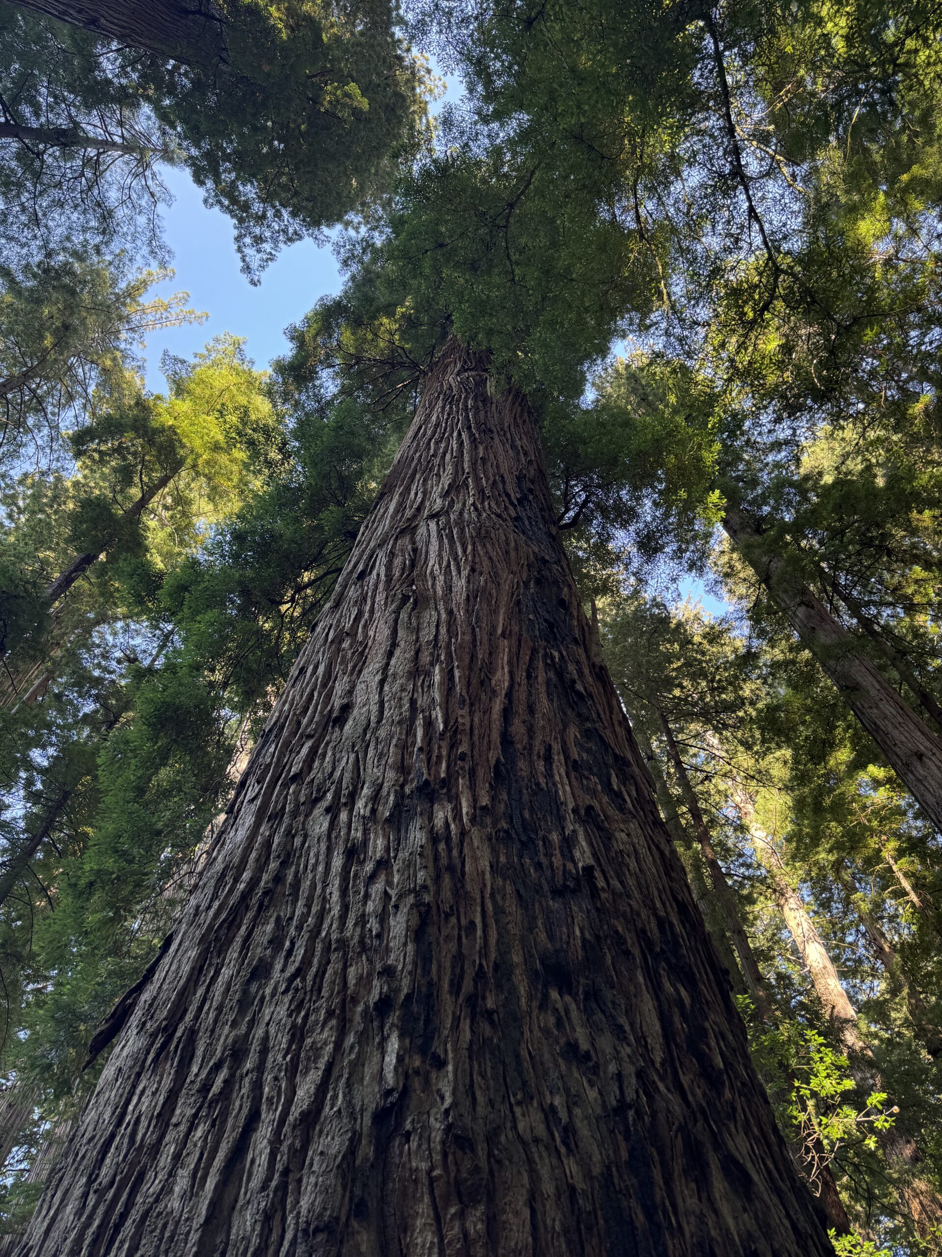
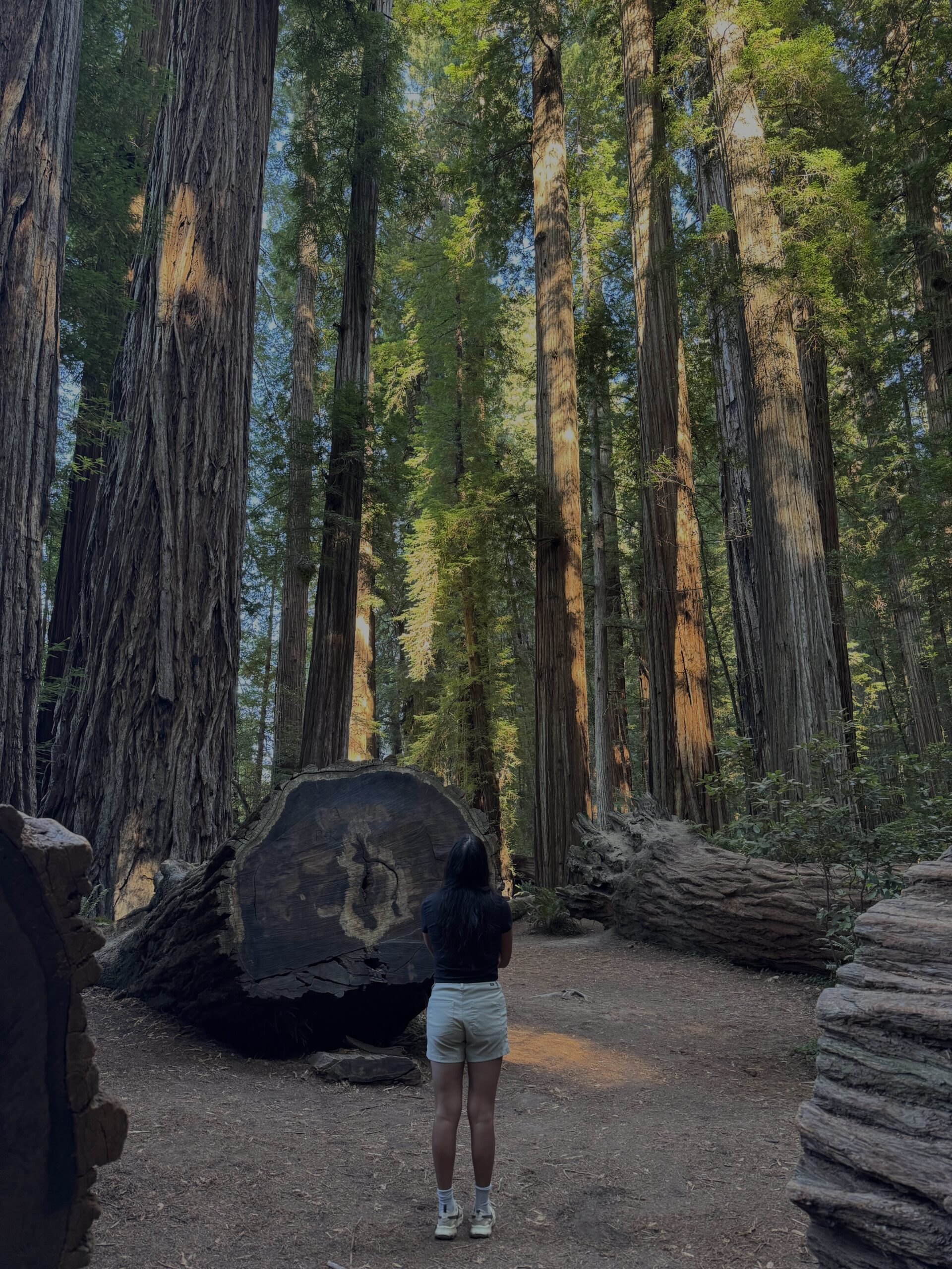
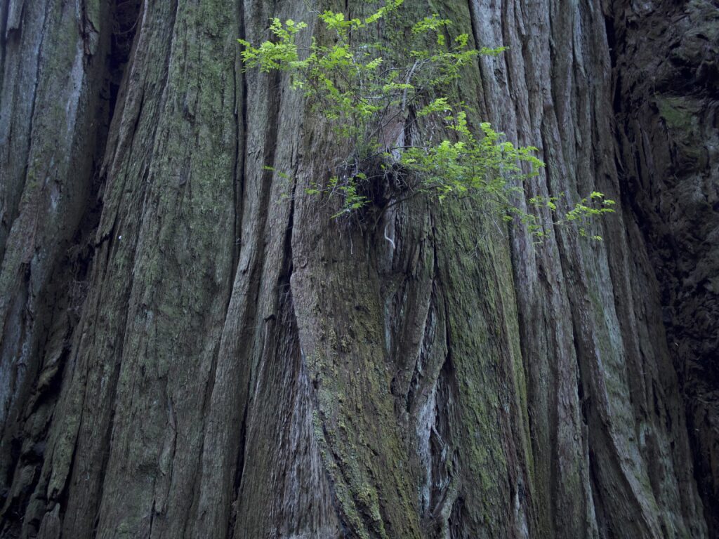
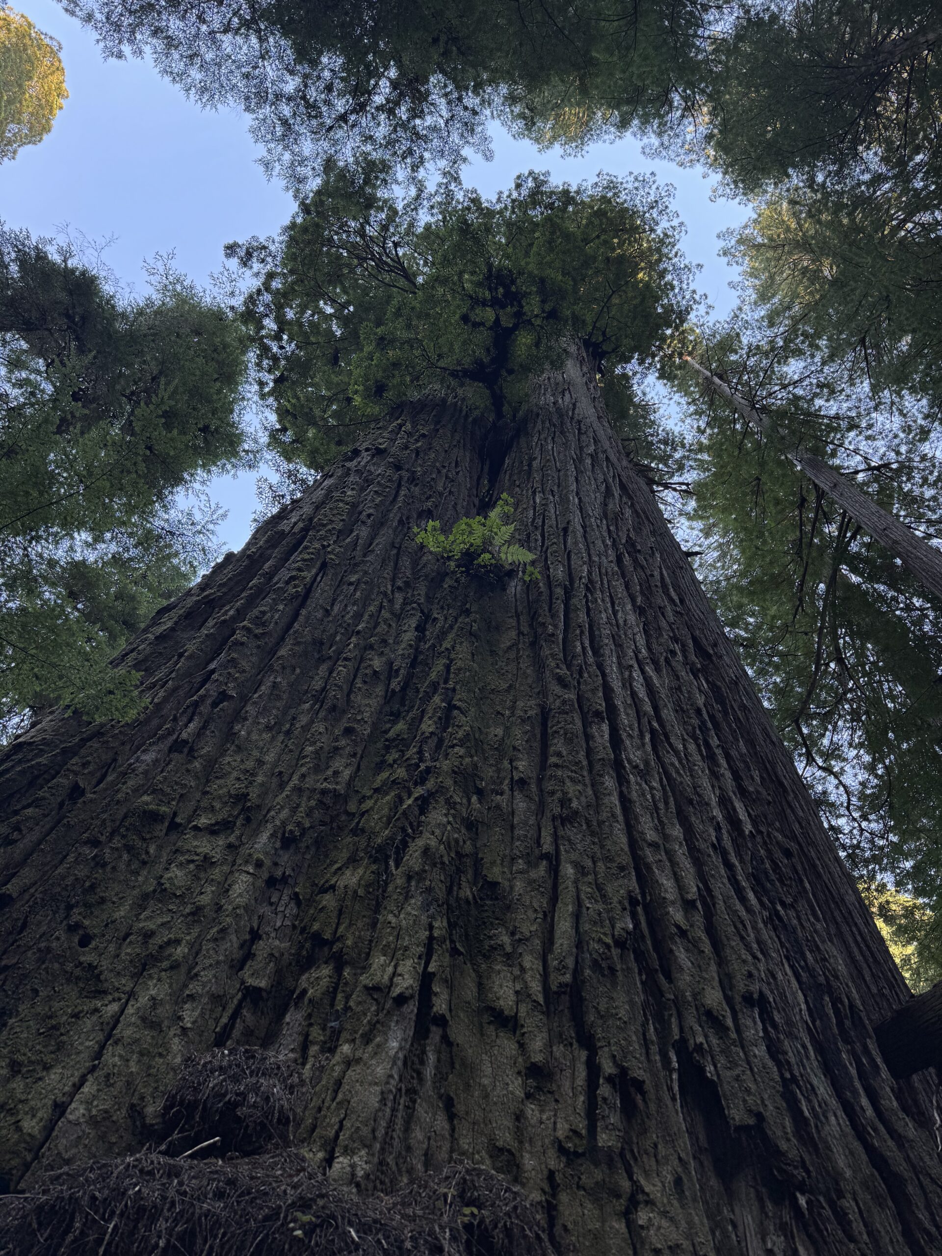
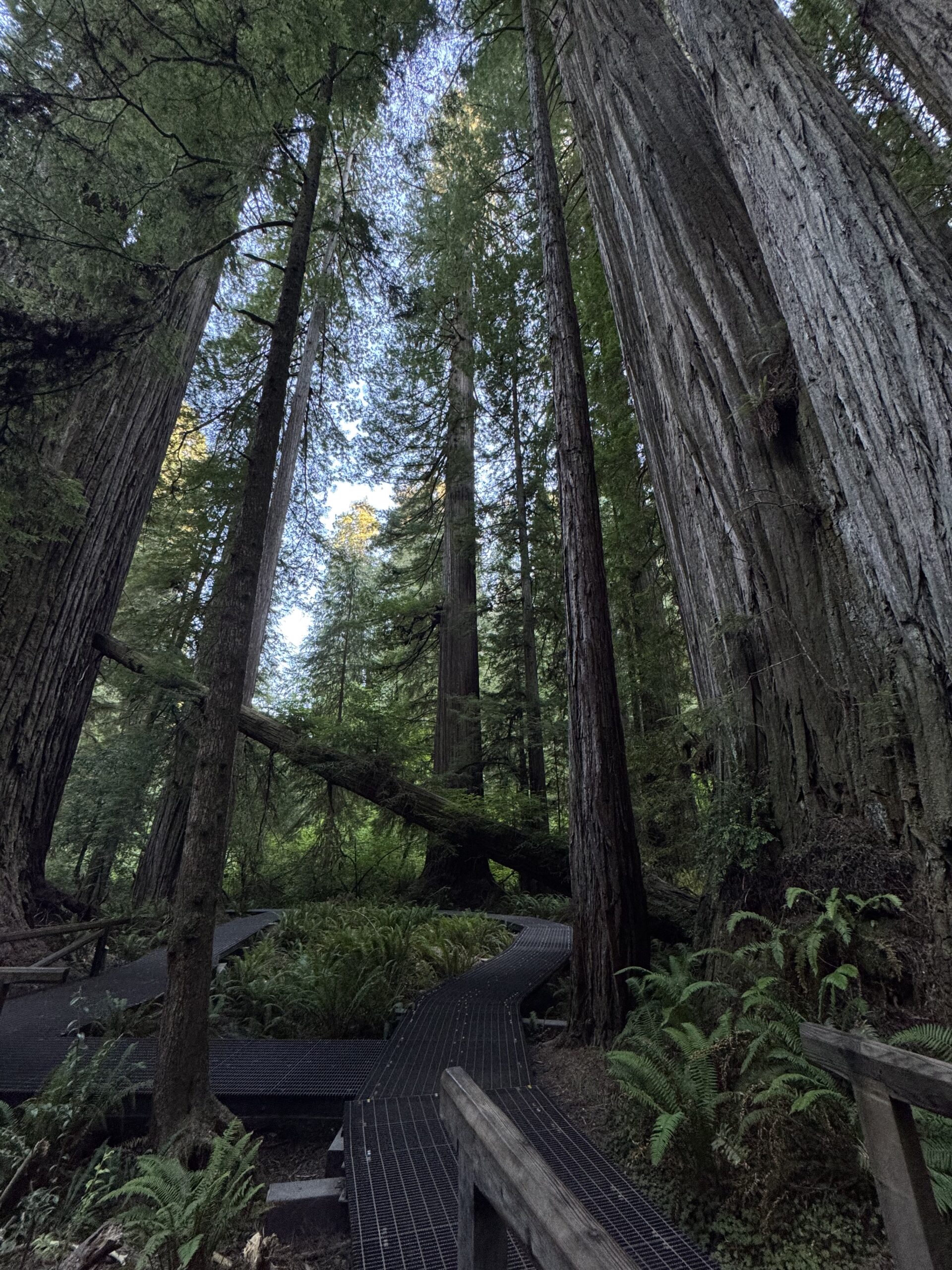
Stout Grove
Stout Grove is one of the most beautiful forest areas I have ever seen. A short, flat trail takes you through a majestic redwood grove full of giant trees.
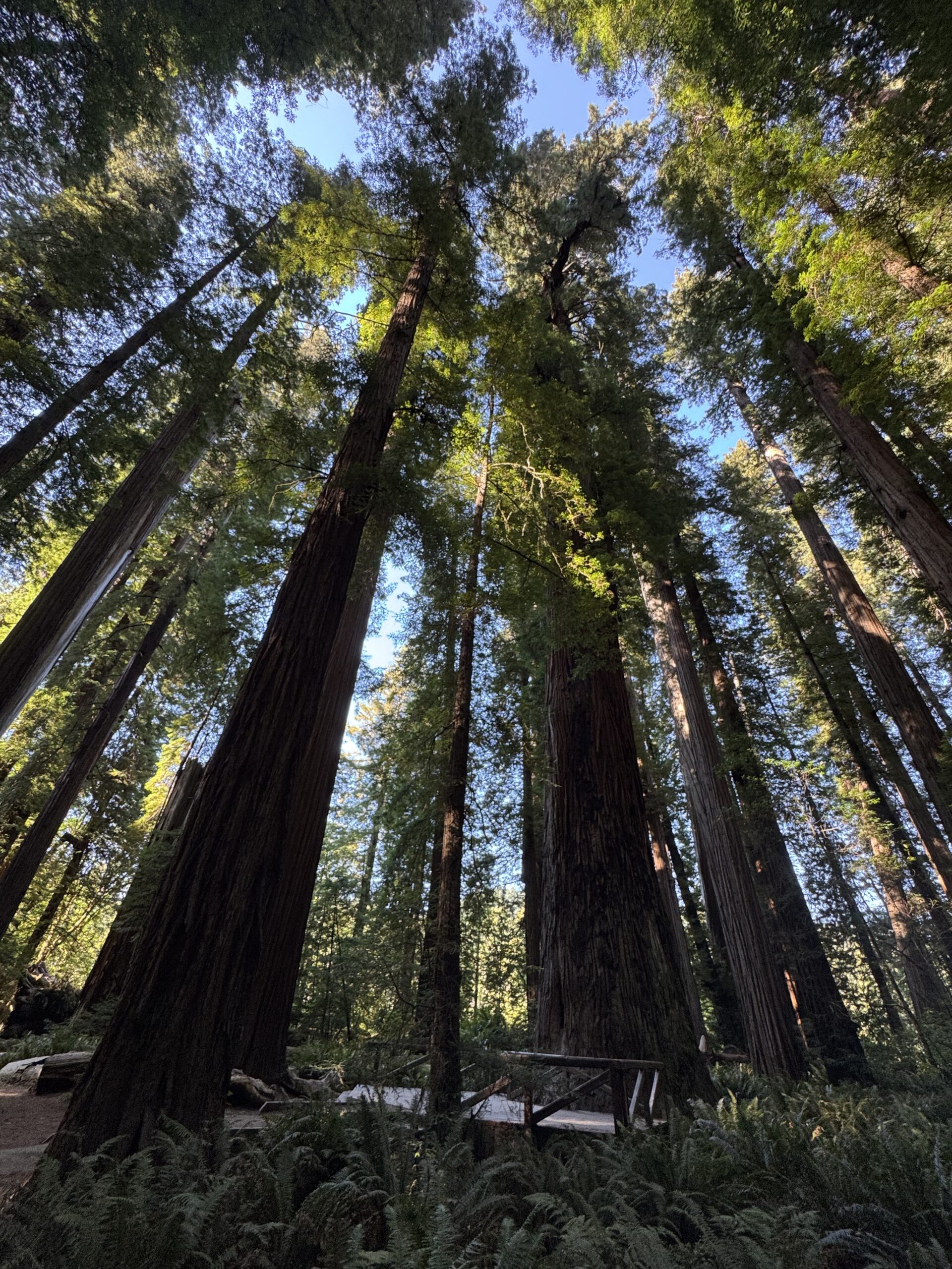
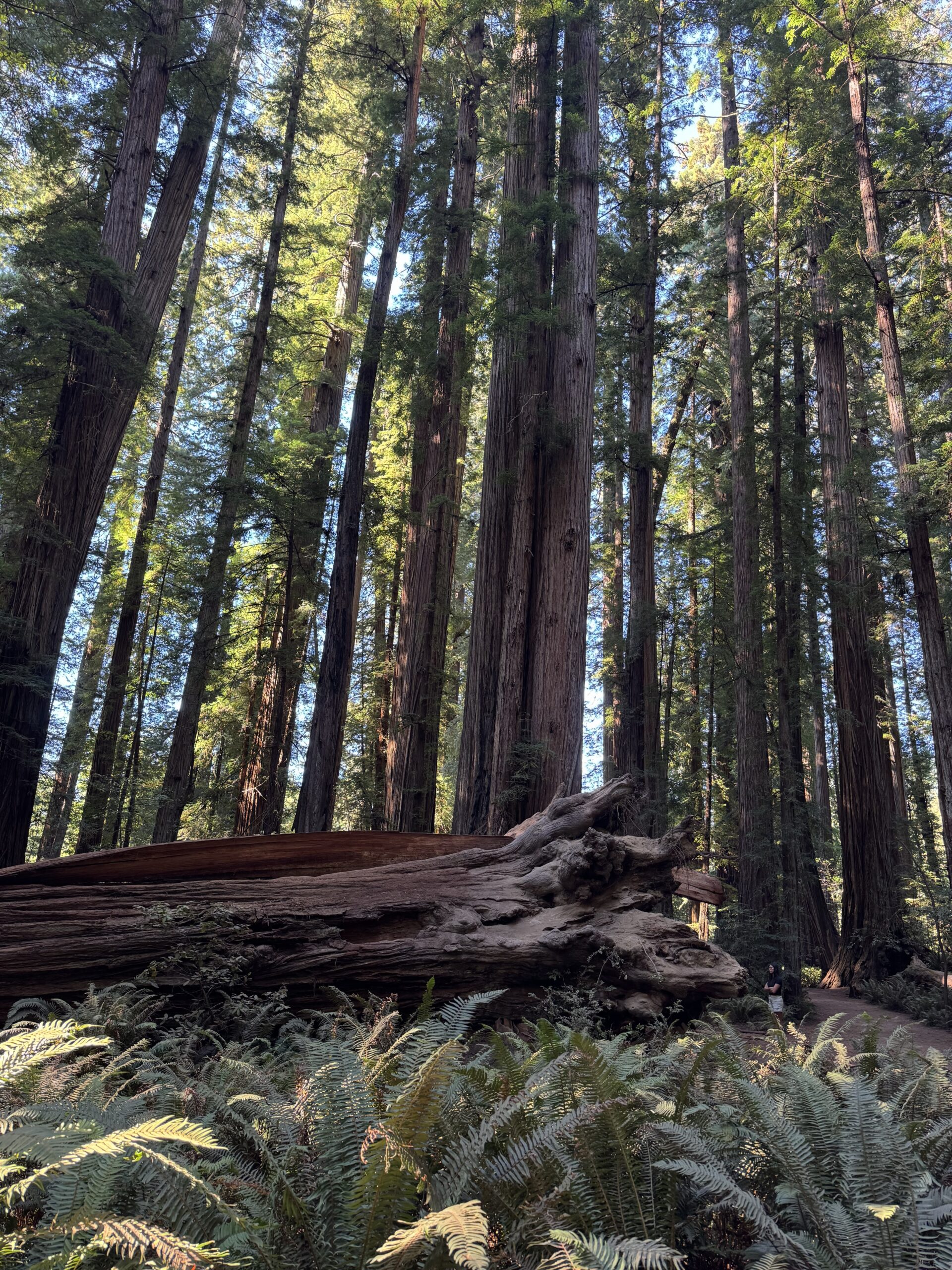
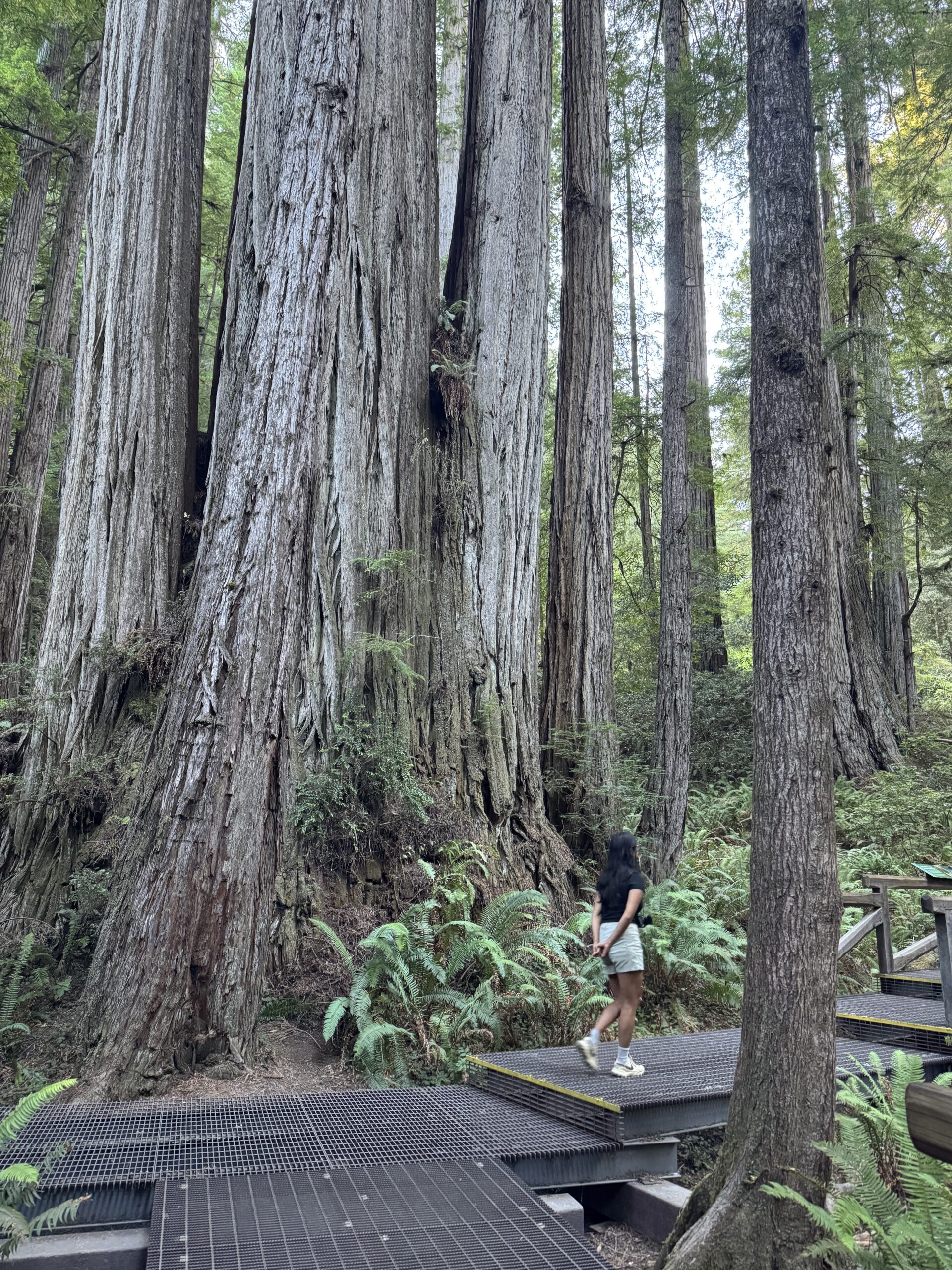
Jedediah Smith Redwoods State Park
Jedediah Smith Redwoods State Park is the broader area, and we did one of the main hikes. It was generally less impressive than Stout Grove. It was still a cool hike, it just didn’t measure up to the majesty of the grove we had just left.
Walking through the redwoods was my favorite part of the trip.
Harris Beach State Park
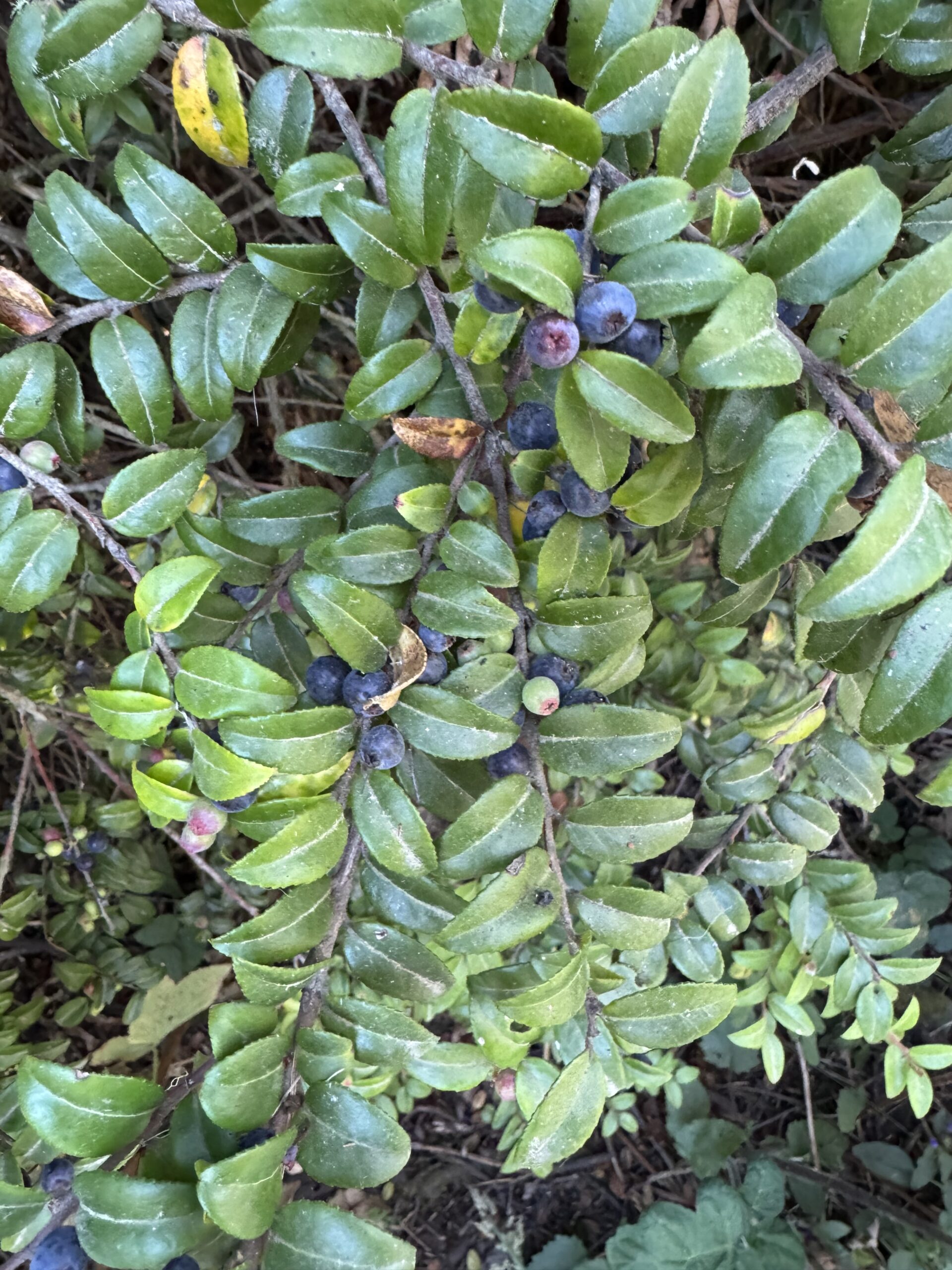
We spent the night at Harris Beach State Park Campground. It was set further back from the coast than I had expected. It was a short walk to a lookout on a bluff over the coast. There were a lot of huckleberries in the area. I believe it was here that we participated in a nature hike with a state park ranger who taught us how to identify local trees – it was cool!
Día 4
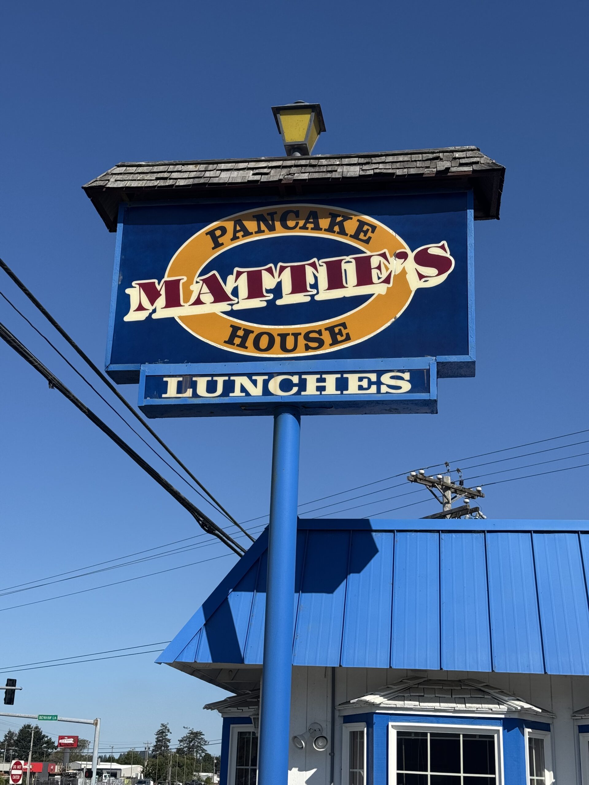
Mattie’s Pancacke House
Mattie's Pancake House
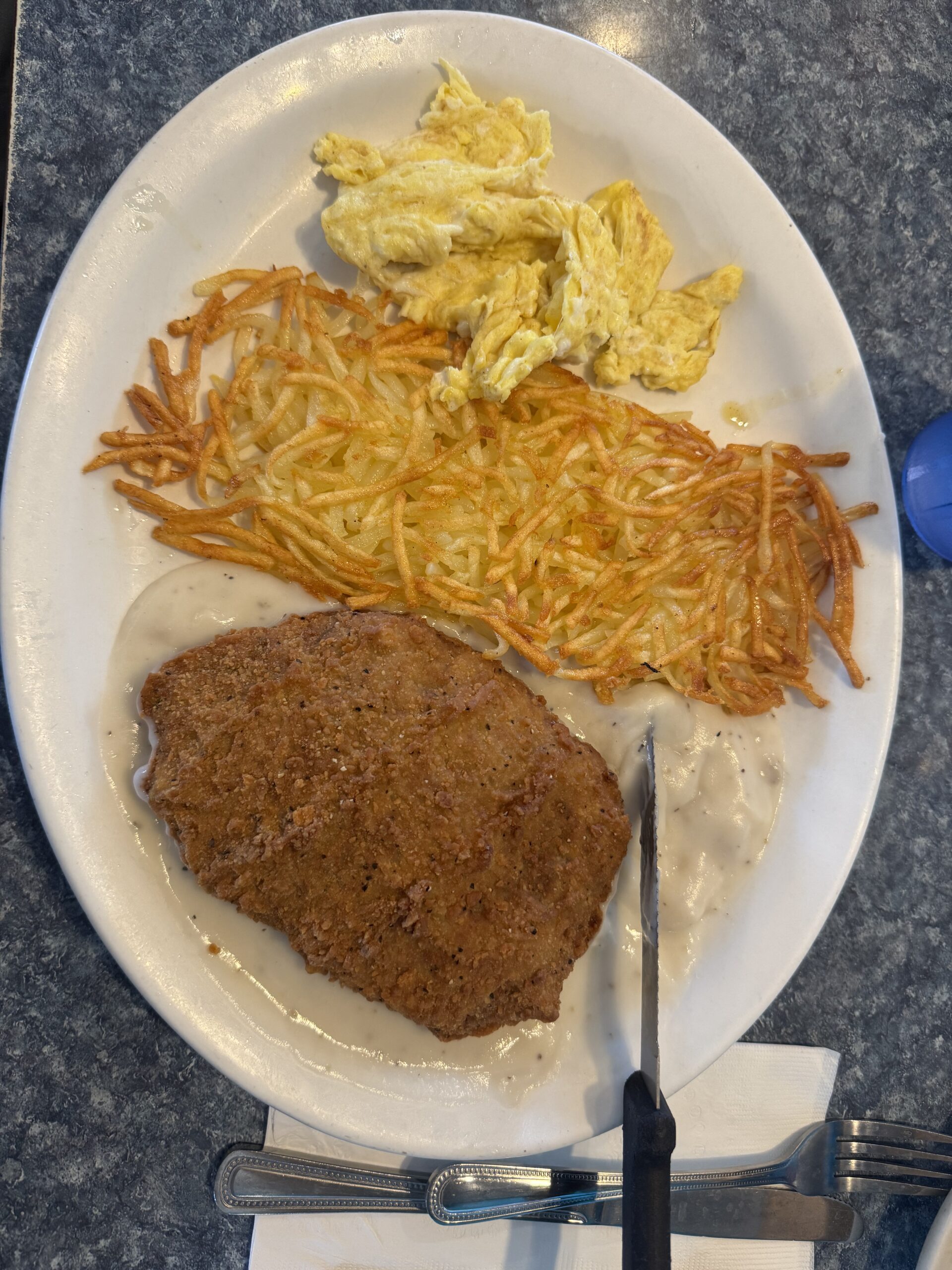
In the morning, we got breakfast at Mattie’s pancake house. The wait was longer than we expected, but the food was pretty good.
After that, we decided to drive back home on a different route, namely through central Oregon. This was a massive mistake. There was a heat wave, and we left the coastal breeze that was keeping us cool. Our car doesn’t have AC. We had to stop at Lowe’s and fill up a spray bottle to spray ourselves constantly. We got the biggest cup of ice they sell at a gas station and rolled down our windows the optimal amount to stay cool according to Chat GPT. Despite all that, it was a brutal 6 hours. It was also my birthday.
Next time
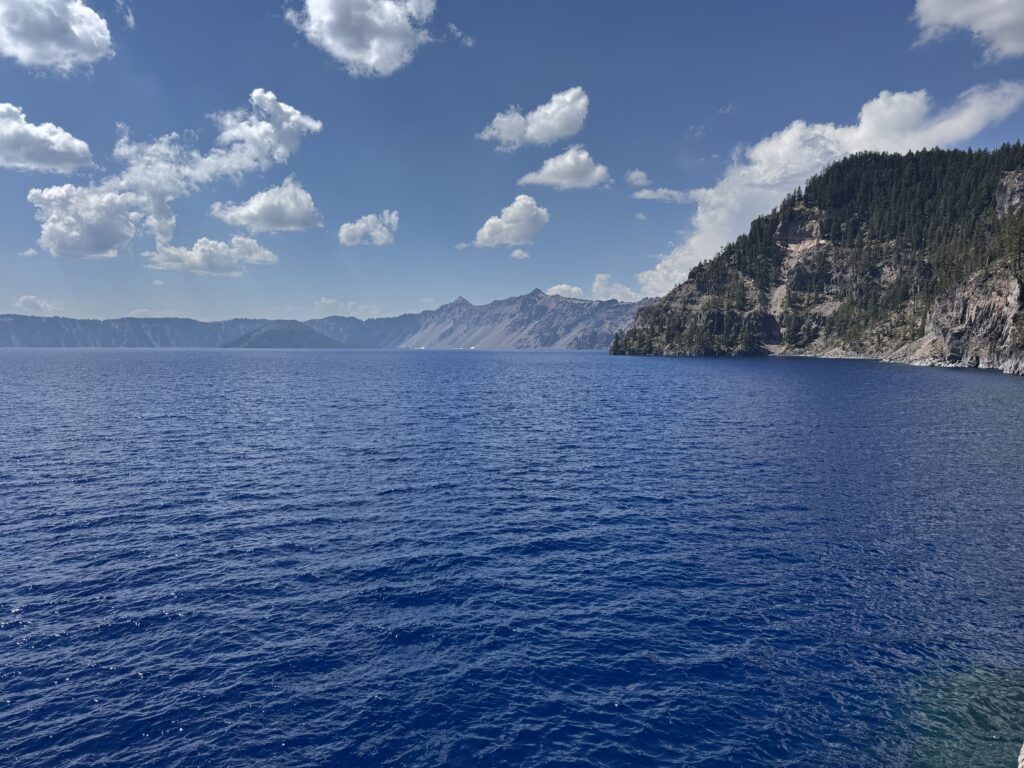
On our next adventure, we go to Crater Lake for Indi’s birthday!